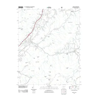
2011 Map of Unicoi
USGS Topo · Published 2011About this map
Unicoi and its neighboring valleys are defined by the convergence of steep Appalachian ridges and the winding waters of North Indian Creek. By the early 21st century, the town shows a mixture of residential development and agricultural land, with established communities like Marbleton and Shadtown flanking the central corridor. The landscape is marked by several historical burial grounds, including Swingle Cemetery and Grindstaff Cemetery, which serve as quiet markers of the area's generational residency.
Find a feature on this map
138 named features on this map. Tap any name to fly to it.
Don’t see what you’re looking for? This feature index may not catch every label — zoom into the map to look around manually.
Map Details
Editions of this 2011 Unicoi Map
This is the sole edition of this map. No revisions or reprints were ever made.
Other maps of this area

1891 · Roan Mountain
USGS Topo · 1:125,000

1894 · Roan Mountain
USGS Topo · 1:125,000

1904 · Roan Mountain
USGS Topo · 1:125,000

1934 · Bakersville
USGS Topo · 1:24,000

1934 · Iron Mtn Gap
USGS Topo · 1:24,000

1935 · Watauga Valley
USGS Topo · 1:48,000

1935 · Chestoa
USGS Topo · 1:24,000

1935 · Erwin
USGS Topo · 1:24,000

1935 · Huntdale
USGS Topo · 1:24,000

1935 · Elizabethton
USGS Topo · 1:24,000