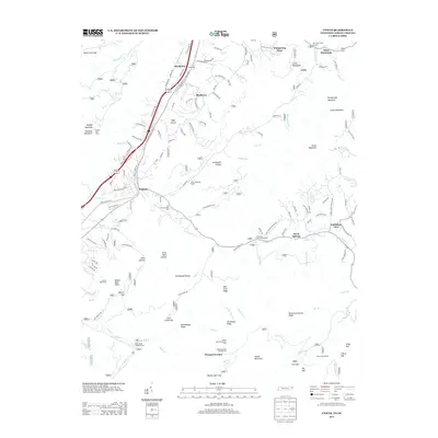
2013 Map of Unicoi
USGS Topo · Published 2013About this map
Unicoi serves as a central hub for this portion of the Blue Ridge, where the Unicoi Dr (Erwin Hwy) corridor follows the base of Buffalo Mountain. The landscape is defined by its deep hollows and high gaps, transitioning from the valley settlements of Marbleton and Shadtown into the protected lands of the Unaka Mountain Scenic Area. This 2013 survey illustrates a region where outdoor recreation and historical sites coexist, featuring landmarks such as the Scioto Shooting Range and the Limestone Cove Campground.
Find a feature on this map
74 named features on this map. Tap any name to fly to it.
Don’t see what you’re looking for? This feature index may not catch every label — zoom into the map to look around manually.
Map Details
Editions of this 2013 Unicoi Map
This is the sole edition of this map. No revisions or reprints were ever made.
Other maps of this area

1891 · Roan Mountain
USGS Topo · 1:125,000

1894 · Roan Mountain
USGS Topo · 1:125,000

1904 · Roan Mountain
USGS Topo · 1:125,000

1934 · Bakersville
USGS Topo · 1:24,000

1934 · Iron Mtn Gap
USGS Topo · 1:24,000

1935 · Watauga Valley
USGS Topo · 1:48,000

1935 · Chestoa
USGS Topo · 1:24,000

1935 · Erwin
USGS Topo · 1:24,000

1935 · Huntdale
USGS Topo · 1:24,000

1935 · Elizabethton
USGS Topo · 1:24,000