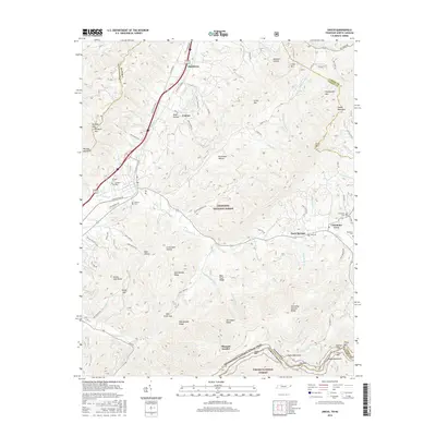
2016 Map of Unicoi
USGS Topo · Published 2016About this map
Unicoi and Marbleton sit along the valley floor where the mountains of the Cherokee National Forest meet the rolling landscape of eastern Tennessee. The terrain is defined by steep ridges and deep hollows, such as Sugar Hollow and Brummett Hollow, which dictate the paths of local roads like Country Club Rd and Daddy Moore Rd. To the east, the settlement of Limestone Cove serves as a gateway to the high peaks of the Unaka Mountains, including Iron Mtn and Unaka Mtn.
Find a feature on this map
99 named features on this map. Tap any name to fly to it.
Don’t see what you’re looking for? This feature index may not catch every label — zoom into the map to look around manually.
Map Details
Editions of this 2016 Unicoi Map
This is the sole edition of this map. No revisions or reprints were ever made.
Other maps of this area

1891 · Roan Mountain
USGS Topo · 1:125,000

1894 · Roan Mountain
USGS Topo · 1:125,000

1904 · Roan Mountain
USGS Topo · 1:125,000

1934 · Bakersville
USGS Topo · 1:24,000

1934 · Iron Mtn Gap
USGS Topo · 1:24,000

1935 · Watauga Valley
USGS Topo · 1:48,000

1935 · Chestoa
USGS Topo · 1:24,000

1935 · Erwin
USGS Topo · 1:24,000

1935 · Huntdale
USGS Topo · 1:24,000

1935 · Elizabethton
USGS Topo · 1:24,000