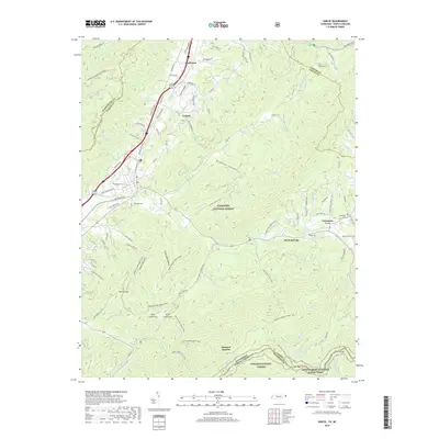
2019 Map of Unicoi
USGS Topo · Published 2019About this map
Unicoi and its surrounding mountain gaps serve as a primary gateway between the high ridges of the Cherokee National Forest and Pisgah National Forest. This 2019 survey documents the rugged boundary where Tennessee meets North Carolina, a landscape defined by steep drainages like N Indian Cr and Sciota Cr. Small settlements such as Marbleton, Limestone Cove, and Davis Springs are clustered in the more accessible valleys, often centered around family-named landmarks and historical burial grounds including Swingle Cem and Grindstaff Cem.
Find a feature on this map
106 named features on this map. Tap any name to fly to it.
Don’t see what you’re looking for? This feature index may not catch every label — zoom into the map to look around manually.
Map Details
Editions of this 2019 Unicoi Map
This is the sole edition of this map. No revisions or reprints were ever made.
Other maps of this area

1891 · Roan Mountain
USGS Topo · 1:125,000

1894 · Roan Mountain
USGS Topo · 1:125,000

1904 · Roan Mountain
USGS Topo · 1:125,000

1934 · Bakersville
USGS Topo · 1:24,000

1934 · Iron Mtn Gap
USGS Topo · 1:24,000

1935 · Watauga Valley
USGS Topo · 1:48,000

1935 · Chestoa
USGS Topo · 1:24,000

1935 · Erwin
USGS Topo · 1:24,000

1935 · Huntdale
USGS Topo · 1:24,000

1935 · Elizabethton
USGS Topo · 1:24,000