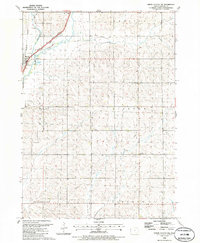
1985 Map of Union Center NW
USGS Topo · Published 1986About this map
Merrill stands as the primary hub of activity in this section of Plymouth County, situated where the Floyd River and its accompanying Levee systems dictate the local geography. The landscape is defined by a dense intersection of mid-century rail infrastructure, including the Chicago and North Western, the Burlington Northern, and the Illinois Central Gulf lines that converge near the river. This concentration of transport signifies the importance of the region as a shipping corridor for the surrounding agricultural townships of Washington, Stanton, and Lincoln.
Find a feature on this map
27 named features on this map. Tap any name to fly to it.
Don’t see what you’re looking for? This feature index may not catch every label — zoom into the map to look around manually.
Map Details
Editions of this 1985 Union Center NW Map
This is the sole edition of this map. No revisions or reprints were ever made.
Other maps of this area

1955 · Sioux City
USGS Topo · 1:250,000

1958 · Sioux City
USGS Topo · 1:250,000

1959 · Sioux City
USGS Topo · 1:250,000

1962 · Le Mars
USGS Topo · 1:62,500

1962 · Union Center
USGS Topo · 1:62,500

1964 · James
USGS Topo · 1:24,000

1964 · Hinton
USGS Topo · 1:24,000
1969 · Brunsville
USGS Topo · 1:24,000
1985 · Union Center
USGS Topo · 1:24,000
1985 · Union Center SE
USGS Topo · 1:24,000