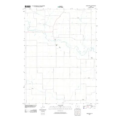
2010 Map of Union Mills
USGS Topo · Published 2010About this map
The North Skunk River carves a winding path through this agricultural landscape in northeastern Mahaska County, anchoring the small settlement of Union Mills. This 2010 survey illustrates the deep-rooted rural infrastructure of the region, where a dense grid of local roads like Merino Ave and Signal Dr connects scattered farmsteads and historic burial grounds. The area is marked by several family and community landmarks, including Tilford Cemetery near Moon Creek and Mormon Point Cemetery to the east.
Find a feature on this map
42 named features on this map. Tap any name to fly to it.
Don’t see what you’re looking for? This feature index may not catch every label — zoom into the map to look around manually.
Map Details
Editions of this 2010 Union Mills Map
This is the sole edition of this map. No revisions or reprints were ever made.
Other maps of this area

1954 · Des Moines
USGS Topo · 1:250,000

1956 · Des Moines
USGS Topo · 1:250,000

1957 · Des Moines
USGS Topo · 1:250,000

1965 · Gibson
USGS Topo · 1:24,000

1965 · Rose Hill
USGS Topo · 1:24,000

1968 · University Park
USGS Topo · 1:24,000

1968 · Barnes City
USGS Topo · 1:24,000

1968 · Oskaloosa
USGS Topo · 1:24,000

1969 · Des Moines
USGS Topo · 1:250,000

1979 · Montezuma
USGS Topo · 1:24,000