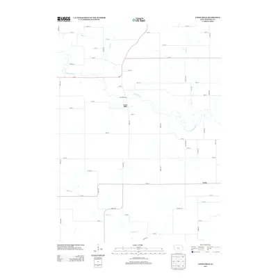
2013 Map of Union Mills
USGS Topo · Published 2013About this map
The settlement of Union Mills serves as the focal point of this rural Mahaska County landscape, positioned near the meandering course of the N Skunk River. This 2013 survey illustrates a deeply agricultural region defined by a precise grid of county roads, including Oxford Ave, Merino Ave, and Snyder Ave. Waterways play a central role in the local geography, with Buck Creek to the north and Middle Creek flowing through the southern portion of the quadrangle. The presence of the Union Mills Access suggests the importance of river management and public entry to the riverfront in this section of Iowa. Researchers will find a preserved layout of farmstead access and drainage patterns, including smaller tributaries like Moon Creek, that have historically shaped the settlement patterns of the township.
Find a feature on this map
39 named features on this map. Tap any name to fly to it.
Don’t see what you’re looking for? This feature index may not catch every label — zoom into the map to look around manually.
Map Details
Editions of this 2013 Union Mills Map
This is the sole edition of this map. No revisions or reprints were ever made.
Other maps of this area

1954 · Des Moines
USGS Topo · 1:250,000

1956 · Des Moines
USGS Topo · 1:250,000

1957 · Des Moines
USGS Topo · 1:250,000

1965 · Gibson
USGS Topo · 1:24,000

1965 · Rose Hill
USGS Topo · 1:24,000

1968 · University Park
USGS Topo · 1:24,000

1968 · Barnes City
USGS Topo · 1:24,000

1968 · Oskaloosa
USGS Topo · 1:24,000

1969 · Des Moines
USGS Topo · 1:250,000

1979 · Montezuma
USGS Topo · 1:24,000