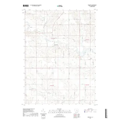
2018 Map of Union Mills
USGS Topo · Published 2018About this map
Union Mills sits as the central point of interest in this section of rural Mahaska County, positioned along the meandering North Skunk River. The landscape is characterized by the structured grid of the Public Land Survey System, with the river and its tributaries, including Buck Cr and Middle Cr, providing the only break in the geometric regularity of the farmland. For researchers of local genealogy, the map identifies several burial grounds scattered across the townships, such as Union Mills Cem, Tilford Cem, and the uniquely named Mormon Point Cem. This modern survey reflects the enduring agricultural layout of the region, where a dense network of local roads like Niland Ave and Parkin Ave connect long-standing homesteads and rural landmarks in the T77N and T76N ranges.
Find a feature on this map
49 named features on this map. Tap any name to fly to it.
Don’t see what you’re looking for? This feature index may not catch every label — zoom into the map to look around manually.
Map Details
Editions of this 2018 Union Mills Map
This is the sole edition of this map. No revisions or reprints were ever made.
Other maps of this area
1954 · Des Moines
USGS Topo · 1:250,000
1956 · Des Moines
USGS Topo · 1:250,000
1957 · Des Moines
USGS Topo · 1:250,000
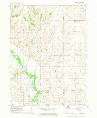
1965 · Gibson
USGS Topo · 1:24,000
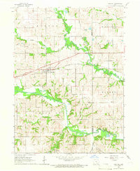
1965 · Rose Hill
USGS Topo · 1:24,000
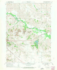
1968 · University Park
USGS Topo · 1:24,000
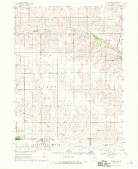
1968 · Barnes City
USGS Topo · 1:24,000
1968 · Oskaloosa
USGS Topo · 1:24,000
1969 · Des Moines
USGS Topo · 1:250,000
1979 · Montezuma
USGS Topo · 1:24,000