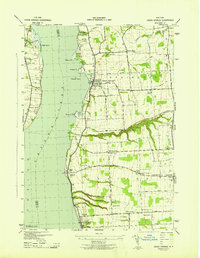
1943 Map of Union Springs
USGS Topo · Published 1943About this map
Cayuga Lake defines the western edge of this 1943 survey, where the Lehigh Valley railroad tracks trace the shoreline connecting the lakefront communities of Union Springs, Levanna, and Aurora. This era of mapping, conducted by the Corps of Engineers and the Tennessee Valley Authority, captures a landscape transitioned from early lake commerce to a mature inland agricultural network. The map reveals a dense system of rural education, identified by numerous numbered schoolhouses like School No 9 and School No 5 that served the farmstead populations between the lake and the eastern village of Scipioville.
Find a feature on this map
49 named features on this map. Tap any name to fly to it.
Don’t see what you’re looking for? This feature index may not catch every label — zoom into the map to look around manually.
Map Details
Editions of this 1943 Union Springs Map
This is the sole edition of this map. No revisions or reprints were ever made.
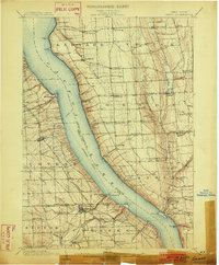
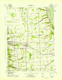
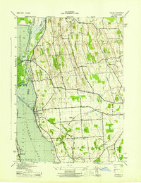
Other maps of this area

1899 · Auburn
USGS Topo · 1:62,500

1902 · Geneva
USGS Topo · 1:62,500
1902 · Genoa
USGS Topo · 1:62,500

1902 · Ovid
USGS Topo · 1:62,500

1902 · Auburn
USGS Topo · 1:62,500
1942 · Ovid
USGS Topo · 1:31,680

1942 · Sheldrake
USGS Topo · 1:24,000

1942 · Genoa
USGS Topo · 1:24,000

1943 · Genoa
USGS Topo · 1:31,680
1943 · Cayuga
USGS Topo · 1:31,680