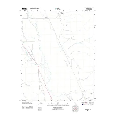
2012 Map of Union Wash
USGS Topo · Published 2012About this map
Manzanar and the surrounding Inyo County desert are defined by the complex water infrastructure of the early 21st century. The path of the Owens River meanders across the valley floor, contrasted by the engineered precision of the Los Angeles Aqueduct and the Eclipse Ditch. These features represent a century of hydrologic transformation in the Owens Valley, where water rights and transport have long shaped local geography. Small settlements like Owenyo and Reward sit at the crossroads of desert routes including Manzanar Reward Rd and Owenyo Lone Pine Rd. To the east, the landscape rises sharply into the rugged terrain of the Inyo Mountains, where names like Fossil Hill, Eclipse Canyon, and Long John Canyon hint at the area's geological and mining history. The proximity of Mount Whitney on the western horizon anchors this high-desert perspective.
Find a feature on this map
18 named features on this map. Tap any name to fly to it.
Don’t see what you’re looking for? This feature index may not catch every label — zoom into the map to look around manually.
Map Details
Editions of this 2012 Union Wash Map
This is the sole edition of this map. No revisions or reprints were ever made.
Other maps of this area

1907 · Mt. Whitney
USGS Topo · 1:125,000

1908 · Ballarat
USGS Topo · 1:250,000

1913 · Ballarat
USGS Topo · 1:250,000

1919 · Mt. Whitney
USGS Topo · 1:125,000

1937 · Mt. Whitney
USGS Topo · 1:125,000

1948 · Death Valley
USGS Topo · 1:250,000

1948 · Fresno
USGS Topo · 1:250,000

1950 · New York Butte
USGS Topo · 1:62,500

1951 · New York Butte
USGS Topo · 1:62,500

1951 · Waucoba Wash
USGS Topo · 1:62,500