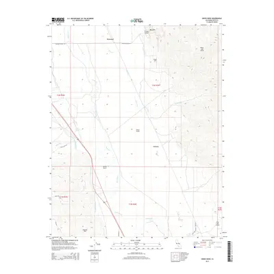
2015 Map of Union Wash
USGS Topo · Published 2015About this map
Manzanar, Owenyo, and Reward anchor this map of the central Owens Valley, illustrating the complex water and transit history of Inyo County. The landscape is defined by the juxtaposition of natural drainage and massive engineering projects, most notably the Los Angeles Aqueduct cutting across the valley floor. Water management is further evidenced by the McIver Canal and Eclipse Ditch, which divert flows toward historic agricultural and settlement sites. To the east, the terrain rises into the White-Inyo Range, while the southwestern corner touches the northern reaches of the Alabama Hills. This survey also documents the local transportation network, including the Lone Pine Narrow Gauge Rd, which follows the path of the valley's industrial past. Geological landmarks like Fossil Hill and the deep cuts of Eclipse Canyon highlight the varied topography between the Mojave Desert and the high peaks.
Find a feature on this map
63 named features on this map. Tap any name to fly to it.
Don’t see what you’re looking for? This feature index may not catch every label — zoom into the map to look around manually.
Map Details
Editions of this 2015 Union Wash Map
This is the sole edition of this map. No revisions or reprints were ever made.
Other maps of this area
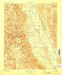
1907 · Mt. Whitney
USGS Topo · 1:125,000
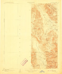
1908 · Ballarat
USGS Topo · 1:250,000
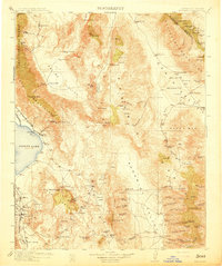
1913 · Ballarat
USGS Topo · 1:250,000
1919 · Mt. Whitney
USGS Topo · 1:125,000
1937 · Mt. Whitney
USGS Topo · 1:125,000
1948 · Death Valley
USGS Topo · 1:250,000

1948 · Fresno
USGS Topo · 1:250,000
1950 · New York Butte
USGS Topo · 1:62,500
1951 · New York Butte
USGS Topo · 1:62,500
1951 · Waucoba Wash
USGS Topo · 1:62,500