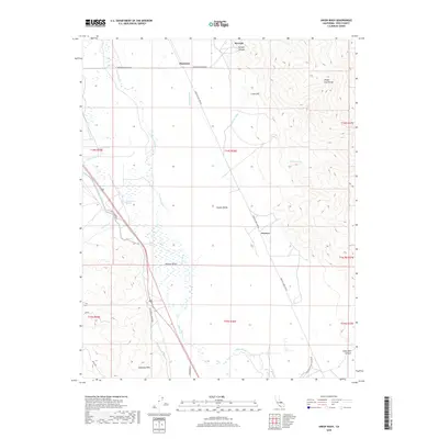
2018 Map of Union Wash
USGS Topo · Published 2018About this map
The Owens Valley landscape depicted here is a study in the complex water management and transportation history of Inyo County. Centrally featured is the Los Angeles Aqueduct, which cuts across the valley floor, alongside the natural course of the Owens River and the engineered paths of the Eclipse Ditch and Melver Canal. These features highlight the area's transition from a high-desert agricultural region to a critical source of municipal water. To the west, the distinctive terrain of the Alabama Hills and Hogback Cr rises, while the eastern edge is defined by the White- Inyo Range. Local history is anchored by the site of Manzanar and the small settlements of Reward and Owenyo, the latter of which was historically connected by the Lone Pine Narrow Gauge Rd, a remnant of the region's mining and rail era.
Find a feature on this map
29 named features on this map. Tap any name to fly to it.
Don’t see what you’re looking for? This feature index may not catch every label — zoom into the map to look around manually.
Map Details
Editions of this 2018 Union Wash Map
This is the sole edition of this map. No revisions or reprints were ever made.
Other maps of this area
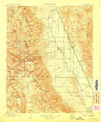
1907 · Mt. Whitney
USGS Topo · 1:125,000
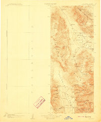
1908 · Ballarat
USGS Topo · 1:250,000
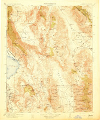
1913 · Ballarat
USGS Topo · 1:250,000
1919 · Mt. Whitney
USGS Topo · 1:125,000
1937 · Mt. Whitney
USGS Topo · 1:125,000
1948 · Death Valley
USGS Topo · 1:250,000

1948 · Fresno
USGS Topo · 1:250,000
1950 · New York Butte
USGS Topo · 1:62,500
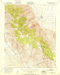
1951 · New York Butte
USGS Topo · 1:62,500
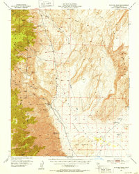
1951 · Waucoba Wash
USGS Topo · 1:62,500