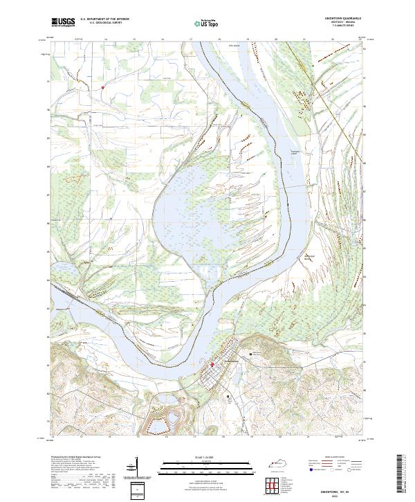
1981 Map of Uniontown
USGS Topo · Published 1981About this map
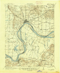
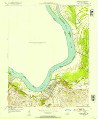
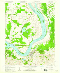
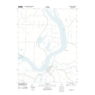
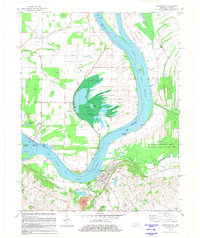
Uniontown sits prominently on the southern bank of a wide bend in the Ohio River, serving as a focal point for this river-border landscape in the early 1980s. The terrain is defined by its low-lying wetlands and complex water systems, notably the Hovey Lake Fish and Wildlife Area to the north and the Sloughs Wildlife Management Area Jenny Hole—Highland Creek Unit to the east. These areas preserve a maze of backwaters like Pirogue Slough and Fish Slough, illustrating the dynamic nature of the floodplain. Engineering efforts to manage this water are visible through the Uniontown Locks and Dam and the Flood Gate near Hovey Lake. Local history is anchored by the Uniontown Cem and St Agnes Cem, while the industrial presence is marked by numerous Oil Wells scattered across the flats on both the Indiana and Kentucky sides of the river.
Find a feature on this map
41 named features on this map. Tap any name to fly to it.
Don’t see what you’re looking for? This feature index may not catch every label — zoom into the map to look around manually.
Map Details
Editions of this 1981 Uniontown Map
This is the sole edition of this map. No revisions or reprints were ever made.
Historical Maps of Uniontown Through Time
9 maps found