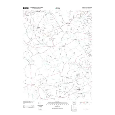
2013 Map of Unionville
USGS Topo · Published 2013About this map
The W Br Brandywine Cr and E Br Brandywine Cr converge within this corner of Chester County, shaping a landscape defined by historic crossroads settlements and colonial-era mill sites. In the north, the Penn Central Railroad corridor through Thorndale and Gallagherville marks the industrial expansion of the Brandywine Valley, while the southern reaches near Unionville and Marlboro retain a more rural, agricultural character. The map reveals the intricate network of family-named landmarks and small villages like Lenape and Wawaset that grew around the water power of the creeks. Notable institutional features include the Philadelphia YMCA Camp and the site of Saverys Mill, providing a detailed look at the 21st-century transition between preserved open space and residential growth in the Brandywine watershed.
Find a feature on this map
293 named features on this map. Tap any name to fly to it.
Don’t see what you’re looking for? This feature index may not catch every label — zoom into the map to look around manually.
Map Details
Editions of this 2013 Unionville Map
This is the sole edition of this map. No revisions or reprints were ever made.
Other maps of this area

1901 · West Chester
USGS Topo · 1:62,500

1904 · West Chester
USGS Topo · 1:62,500

1904 · Coatesville
USGS Topo · 1:62,500

1905 · Honey Brook
USGS Topo · 1:62,500

1906 · Phoenixville
USGS Topo · 1:62,500

1906 · Coatesville
USGS Topo · 1:62,500

1907 · Honeybrook
USGS Topo · 1:62,500

1918 · Coatesville
USGS Topo · 1:62,500

1941 · Honeybrook
USGS Topo · 1:62,500

1943 · Coatesville
USGS Topo · 1:62,500
Featured Places
- West Goshen Township, PA
- Caln Township, PA
- Birmingham Township, PA
- Pocopson Township, PA
- Unionville, East Marlborough Township