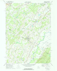
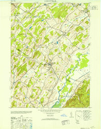
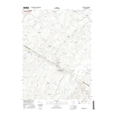
1969 Map of Unionville
USGS Topo · Published 1976About this map
The village of Unionville sits directly atop the New York New Jersey state line, serving as a hub for the agricultural and upland landscape of Orange and Sussex Counties. This late-1960s survey documents a region defined by its watercourses and early transportation routes, where the Wallkill River and Rutgers Creek wind through the valleys. The Appalachian Trail cuts across the center of the map, passing through Rockport and near Mt Salem as it traverses the ridge lines.
Find a feature on this map
40 named features on this map. Tap any name to fly to it.
Don’t see what you’re looking for? This feature index may not catch every label — zoom into the map to look around manually.
Map Details
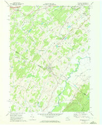
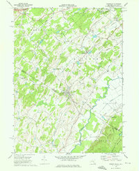
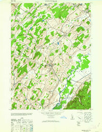
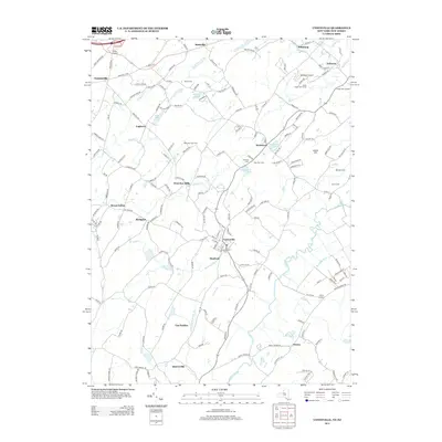
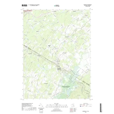
Editions of this 1969 Unionville Map
Historical Maps of Warwick Through Time
10 maps found
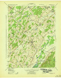
1943 Unionville
Orange County, NY
1953 Unionville
Orange County, NY
1963 Unionville
Orange County, NY

1967 Unionville
Orange County, NY
1969 Unionville
Orange County, NY
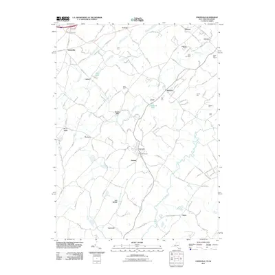
2011 Unionville
Orange County, NY
2013 Unionville
Orange County, NY
2016 Unionville
Orange County, NY
2019 Unionville
Orange County, NY

2023 Unionville
Orange County, NY