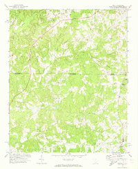
1971 Map of Unity
USGS Topo · Published 1973About this map
Unity and its surrounding rural landscapes sit at the intersection of Lancaster and Union counties during the early 1970s. This survey records a Piedmont region defined by a dense network of watercourses, including Cane Creek, Waxhaw Creek, and the uniquely named Booger Branch. The settlement pattern is largely agricultural, punctuated by numerous country churches such as Pleasant Plains Ch and Mary Elizabeth Ch, each serving as a focal point for local communities. Significant local nodes appear at Sapps Crossroads and Lingles Crossroads, where early road networks converged near landmarks like the Buford Sch. The presence of several unnamed cemeteries and smaller settlements like Walkersville and Jackson reveals a deep-rooted domestic history. The topographic detail captures the land before more modern suburban expansion, showing a landscape still dominated by the prongs of Camp Creek and the drainage basins of the North Carolina and South Carolina borderlands.
Find a feature on this map
35 named features on this map. Tap any name to fly to it.
Don’t see what you’re looking for? This feature index may not catch every label — zoom into the map to look around manually.
Map Details
Editions of this 1971 Unity Map
3 editions found
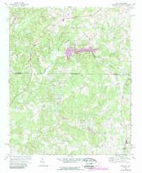
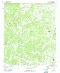
Other maps of this area

1941 · Spartanburg
USGS Topo · 1:250,000

1953 · Spartanburg
USGS Topo · 1:250,000

1960 · Spartanburg
USGS Topo · 1:250,000

1963 · Spartanburg
USGS Topo · 1:250,000

1964 · Spartanburg
USGS Topo · 1:250,000

1968 · Van Wyck
USGS Topo · 1:24,000
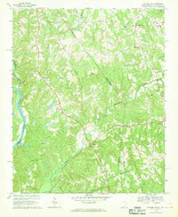
1968 · Catawba NE
USGS Topo · 1:24,000

1969 · Antioch
USGS Topo · 1:24,000
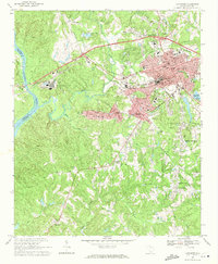
1969 · Lancaster
USGS Topo · 1:24,000
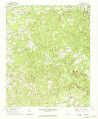
1969 · Taxahaw
USGS Topo · 1:24,000