2022 Map of University Park
USGS Topo · Published 2022About this map
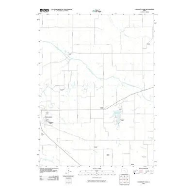
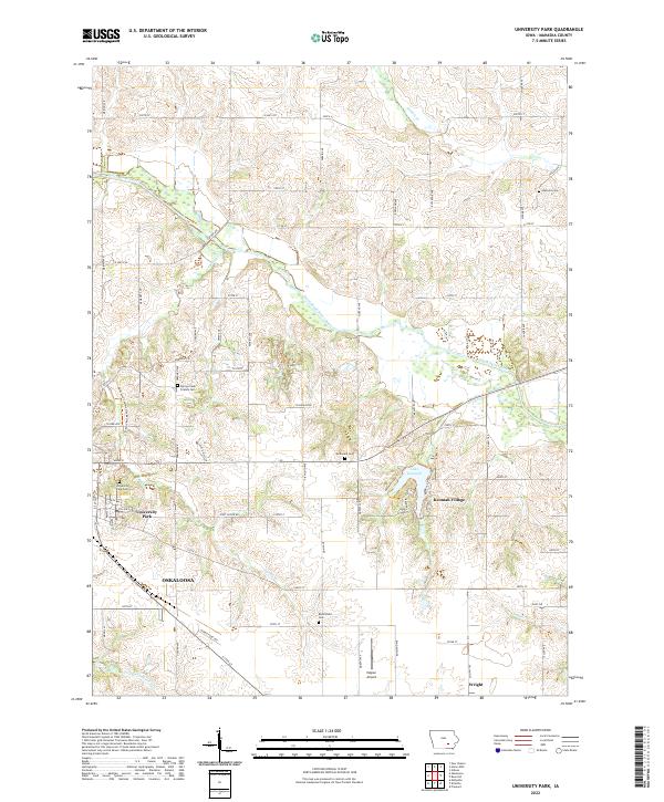
University Park and the outskirts of Oskaloosa dominate the southwestern portion of this Mahaska County landscape, where the prairie gives way to the winding course of the South Skunk River. This area is characterized by a dense concentration of historical burial grounds, including the Spring Creek Friends Cem and University Park Cem, reflecting the early religious and community foundations of the region. The landscape transitions from the urban grid of the city to the recreational and residential clusters around Lake Keomah and Keomah Village.
Find a feature on this map
69 named features on this map. Tap any name to fly to it.
Don’t see what you’re looking for? This feature index may not catch every label — zoom into the map to look around manually.
Map Details
Editions of this 2022 University Park Map
This is the sole edition of this map. No revisions or reprints were ever made.
Historical Maps of Oskaloosa Through Time
6 maps found