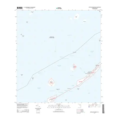
2015 Map of Upper Matecumbe Key
USGS Topo · Published 2015About this map
Islamorada serves as the central hub for this portion of the Florida Keys, where the modern corridor of the Intracostal Waterway intersects with historic routes like the Old Hwy. The map details the intricate archipelago between Florida Bay and the Atlantic Ocean, including the protected expanse of Everglades National Park to the north. Smaller, ecologically significant landmasses such as Lignumvitae Key and Shell Key are situated alongside specialized nautical features like the Yellow Shark Channel and Steamboat Channel. This survey provides a precise record of the developed and undeveloped keys before modern shifts, documenting the layout of Upper Matecumbe Key and the man-made Indian Key Fill that links these islands. The presence of Old SR 905 and Madeira Rd highlights the local transportation network that has long defined the character of this maritime community.
Find a feature on this map
48 named features on this map. Tap any name to fly to it.
Don’t see what you’re looking for? This feature index may not catch every label — zoom into the map to look around manually.
Map Details
Editions of this 2015 Upper Matecumbe Key Map
This is the sole edition of this map. No revisions or reprints were ever made.
Other maps of this area
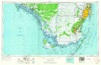
1956 · Miami
USGS Topo · 1:250,000
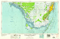
1958 · Miami
USGS Topo · 1:250,000
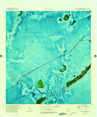
1971 · Upper Matecumbe Key
USGS Topo · 1:24,000
1971 · Tavernier
USGS Topo · 1:24,000
1971 · Plantation Key
USGS Topo · 1:24,000
1971 · Long Key
USGS Topo · 1:24,000
1971 · Lower Matecumbe Key
USGS Topo · 1:24,000
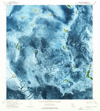
1972 · Pelican Keys
USGS Topo · 1:24,000
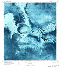
1972 · Buchanan Keys
USGS Topo · 1:24,000
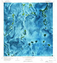
1972 · Calusa Keys
USGS Topo · 1:24,000