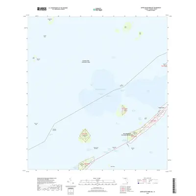
2018 Map of Upper Matecumbe Key
USGS Topo · Published 2018About this map
Islamorada serves as the focal point of this coastal survey, situated within the Village of Islands along the limestone archipelago of the Florida Keys. The map details the intricate network of channels and basins that define the local maritime geography, including the Intracoastal Waterway cutting through the Lignumvitae Basin and Steamboat Channel. To the north and west, the protected waters of Everglades National Park encompass numerous small islands such as Gopher Keys and Panhandle Key.
Find a feature on this map
49 named features on this map. Tap any name to fly to it.
Don’t see what you’re looking for? This feature index may not catch every label — zoom into the map to look around manually.
Map Details
Editions of this 2018 Upper Matecumbe Key Map
This is the sole edition of this map. No revisions or reprints were ever made.
Other maps of this area
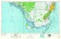
1956 · Miami
USGS Topo · 1:250,000
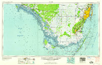
1958 · Miami
USGS Topo · 1:250,000
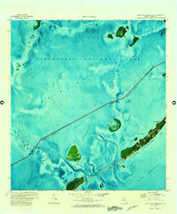
1971 · Upper Matecumbe Key
USGS Topo · 1:24,000
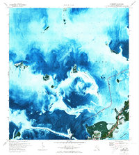
1971 · Tavernier
USGS Topo · 1:24,000
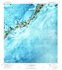
1971 · Plantation Key
USGS Topo · 1:24,000
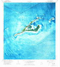
1971 · Long Key
USGS Topo · 1:24,000
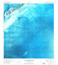
1971 · Lower Matecumbe Key
USGS Topo · 1:24,000

1972 · Pelican Keys
USGS Topo · 1:24,000
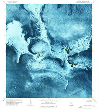
1972 · Buchanan Keys
USGS Topo · 1:24,000
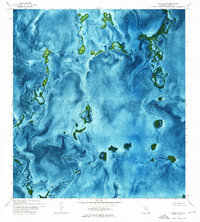
1972 · Calusa Keys
USGS Topo · 1:24,000