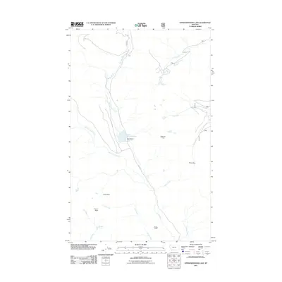
2011 Map of Upper Whitefish Lake
USGS Topo · Published 2011About this map
Upper Whitefish Lake serves as the central focal point of this mountainous region in Flathead County, where the high-altitude hydrology is defined by the convergence of the West Fork Swift Creek and East Fork Swift Creek. The landscape is dominated by significant elevation markers including Diamond Peak and the high corridor of Haines Pass. Human presence is largely concentrated around the Upper Whitefish Campground, reflecting the area's role as a managed wilderness space. The terrain is deeply carved by numerous drainages such as Swede Creek, Antice Creek, and Chicken Creek, while Stryker Ridge and Antice Point provide prominent topographic overlooks. The mapping reveals a network of forest access routes like Hay Creek Rd and N F 715 Rd, which connect these remote water bodies and peaks within the backcountry.
Find a feature on this map
20 named features on this map. Tap any name to fly to it.
Don’t see what you’re looking for? This feature index may not catch every label — zoom into the map to look around manually.
Map Details
Editions of this 2011 Upper Whitefish Lake Map
This is the sole edition of this map. No revisions or reprints were ever made.
Other maps of this area

1906 · Kintla Lakes
USGS Topo · 1:125,000

1913 · Stryker
USGS Topo · 1:125,000

1916 · Stryker
USGS Topo · 1:125,000

1938 · Kintla Lakes
USGS Topo · 1:125,000

1957 · Kalispell
USGS Topo · 1:250,000

1960 · Kalispell
USGS Topo · 1:250,000

1961 · Kalispell
USGS Topo · 1:250,000
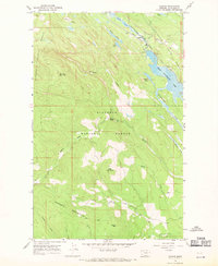
1966 · Radnor
USGS Topo · 1:24,000

1966 · Red Meadow Lake
USGS Topo · 1:24,000
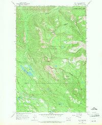
1966 · Bull Lake
USGS Topo · 1:24,000