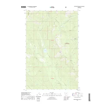
2020 Map of Upper Whitefish Lake
USGS Topo · Published 2020About this map
The Whitefish Divide and Coal Ridge define this high-altitude landscape within the Flathead National Forest, where the boundary between Lincoln and Flathead counties follows the jagged terrain. The drainage systems of Upper Whitefish Lake and Mystery Lake feed into a network of creeks including Antice Cr and the W Fork Swift Cr. Long-distance hiking is established here along the Pacific NW National Scenic Trail, which winds past Diamond Peak and through Haines Pass. Access is provided by a network of forest routes such as Red Meadow Rd and Antice Rd, illustrating the modern management of this timber and recreation land. The presence of named summits like Antice Knob and Antice Point suggests a history of local geographic surveying in this part of the Whitefish Range.
Find a feature on this map
29 named features on this map. Tap any name to fly to it.
Don’t see what you’re looking for? This feature index may not catch every label — zoom into the map to look around manually.
Map Details
Editions of this 2020 Upper Whitefish Lake Map
This is the sole edition of this map. No revisions or reprints were ever made.
Other maps of this area
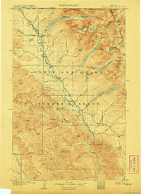
1906 · Kintla Lakes
USGS Topo · 1:125,000
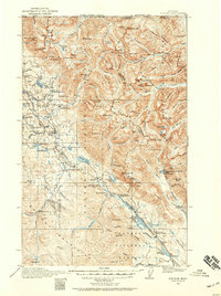
1913 · Stryker
USGS Topo · 1:125,000
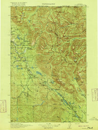
1916 · Stryker
USGS Topo · 1:125,000
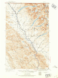
1938 · Kintla Lakes
USGS Topo · 1:125,000

1957 · Kalispell
USGS Topo · 1:250,000

1960 · Kalispell
USGS Topo · 1:250,000

1961 · Kalispell
USGS Topo · 1:250,000
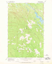
1966 · Radnor
USGS Topo · 1:24,000
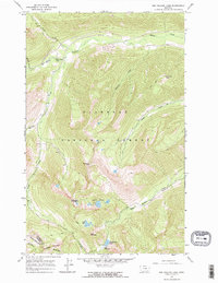
1966 · Red Meadow Lake
USGS Topo · 1:24,000
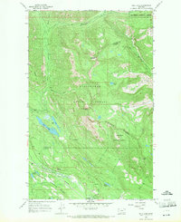
1966 · Bull Lake
USGS Topo · 1:24,000