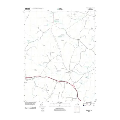
2010 Map of Upperville
USGS Topo · Published 2010About this map
Upperville anchors the northern reaches of this Virginia piedmont landscape, where the town's historic street grid meets the thoroughbred and agricultural traditions of the region. The map follows the corridor of Goose Creek southward through a rolling countryside punctuated by prominent peaks including Naked Mountain and Little Cobbler Mountain. This area serves as a significant intersection of rural commerce and transit, with the small settlements of Delaplane and Markham situated along the highway and rail routes that traverse the valley floor.
Find a feature on this map
73 named features on this map. Tap any name to fly to it.
Don’t see what you’re looking for? This feature index may not catch every label — zoom into the map to look around manually.
Map Details
Editions of this 2010 Upperville Map
This is the sole edition of this map. No revisions or reprints were ever made.
Other maps of this area

1884 · Harpers Ferry
USGS Topo · 1:125,000

1891 · Harpers Ferry
USGS Topo · 1:125,000

1893 · Luray
USGS Topo · 1:125,000

1893 · Harpers Ferry
USGS Topo · 1:125,000

1894 · Warrenton
USGS Topo · 1:125,000

1894 · Winchester
USGS Topo · 1:125,000

1905 · Luray
USGS Topo · 1:125,000

1916 · Berryville
USGS Topo · 1:62,500

1938 · Winchester
USGS Topo · 1:48,000

1939 · Front Royal
USGS Topo · 1:48,000