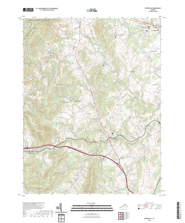
2022 Map of Upperville
USGS Topo · Published 2022About this map
The Blue Ridge mountains dominate the western horizon of this Fauquier and Loudoun County borderland, where the Appalachian National Scenic Trail follows the high ridgelines. To the east, the landscape transitions into a mosaic of horse country and small farming settlements like Scuffleburg, Delaplane, and Markham. This modern record of the area preserves the location of numerous private burial grounds, including the Armistead Family Cem, Rust Family Cem, and the Nalley Strother Families Cem, which speak to the deep genealogical roots of the Piedmont. Significant water features such as Goose Creek and Mathews Pond drain the terrain around prominent peaks like Naked Mtn and Brushy Mtn. Along the northern edge, the village of Upperville serves as a focal point, flanked by the Upperville Airport and historic congregations like the Trinity Episcopal Church.
Find a feature on this map
109 named features on this map. Tap any name to fly to it.
Don’t see what you’re looking for? This feature index may not catch every label — zoom into the map to look around manually.
Map Details
Editions of this 2022 Upperville Map
This is the sole edition of this map. No revisions or reprints were ever made.
Other maps of this area

1884 · Harpers Ferry
USGS Topo · 1:125,000

1891 · Harpers Ferry
USGS Topo · 1:125,000

1893 · Luray
USGS Topo · 1:125,000

1893 · Harpers Ferry
USGS Topo · 1:125,000

1894 · Warrenton
USGS Topo · 1:125,000

1894 · Winchester
USGS Topo · 1:125,000

1905 · Luray
USGS Topo · 1:125,000

1916 · Berryville
USGS Topo · 1:62,500

1938 · Winchester
USGS Topo · 1:48,000

1939 · Front Royal
USGS Topo · 1:48,000