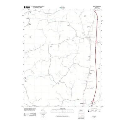
2010 Map of Upton
USGS Topo · Published 2010About this map
The community of Upton serves as a focal point in this 2010 USGS topographic survey, situated at the intersection of a developing modern road network and traditional rural landscape. The map highlights the transition from early settlements like Melrose and Lone Star to the more established corridors near Bonnieville. Family history is deeply etched into the terrain through numerous burial sites, including the Brashear Cemetery, Big Springs Cemetery, and Brackett Cemetery.
Find a feature on this map
49 named features on this map. Tap any name to fly to it.
Don’t see what you’re looking for? This feature index may not catch every label — zoom into the map to look around manually.
Map Details
Editions of this 2010 Upton Map
This is the sole edition of this map. No revisions or reprints were ever made.
Other maps of this area

1925 · Cub Run
USGS Topo · 1:62,500

1932 · Big Clifty
USGS Topo · 1:62,500

1934 · Munfordville
USGS Topo · 1:48,000

1935 · Elizabethtown
USGS Topo · 1:48,000

1937 · Munfordville
USGS Topo · 1:62,500

1938 · Elizabethtown
USGS Topo · 1:62,500

1949 · Sonora
USGS Topo · 1:24,000

1949 · Tonieville
USGS Topo · 1:24,000

1949 · Summit
USGS Topo · 1:24,000

1949 · Big Clifty
USGS Topo · 1:62,500