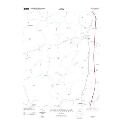
2013 Map of Upton
USGS Topo · Published 2013About this map
Bacon Cr and Sandy Cr define the drainage of this central Kentucky landscape, where small rural communities are connected by a network of winding local roads and modern thoroughfares. The town of Upton serves as a northern anchor, while Bonnieville lies to the south, both positioned along the primary transportation corridor that bisects the region. The map reveals a high density of small family and community burial grounds, such as Brashear Cem and Big Springs Cem, reflecting deep-rooted settlement patterns in Hart County.
Find a feature on this map
88 named features on this map. Tap any name to fly to it.
Don’t see what you’re looking for? This feature index may not catch every label — zoom into the map to look around manually.
Map Details
Editions of this 2013 Upton Map
This is the sole edition of this map. No revisions or reprints were ever made.
Other maps of this area

1925 · Cub Run
USGS Topo · 1:62,500

1932 · Big Clifty
USGS Topo · 1:62,500

1934 · Munfordville
USGS Topo · 1:48,000

1935 · Elizabethtown
USGS Topo · 1:48,000

1937 · Munfordville
USGS Topo · 1:62,500

1938 · Elizabethtown
USGS Topo · 1:62,500

1949 · Sonora
USGS Topo · 1:24,000

1949 · Tonieville
USGS Topo · 1:24,000

1949 · Summit
USGS Topo · 1:24,000

1949 · Big Clifty
USGS Topo · 1:62,500