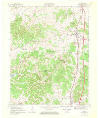
1967 Map of Upton
USGS Topo · Published 1969About this map
The Louisville and Nashville railroad corridor anchors the eastern edge of this landscape, connecting the town of Upton with Bonnieville to the south. This late 1960s perspective reveals a karst landscape defined by numerous springs and hollows, where water resurfaces at Roaring Spring and Falling Springs before feeding into Bacon Creek. The terrain is dotted with small rural communities and named family landmarks like Jim Moore Hill and Gardner Knob.
Find a feature on this map
46 named features on this map. Tap any name to fly to it.
Don’t see what you’re looking for? This feature index may not catch every label — zoom into the map to look around manually.
Map Details
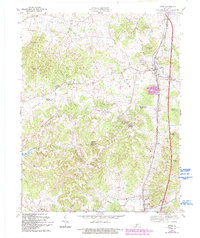
Editions of this 1967 Upton Map
2 editions found
Other maps of this area

1925 · Cub Run
USGS Topo · 1:62,500

1932 · Big Clifty
USGS Topo · 1:62,500

1934 · Munfordville
USGS Topo · 1:48,000

1935 · Elizabethtown
USGS Topo · 1:48,000

1937 · Munfordville
USGS Topo · 1:62,500

1938 · Elizabethtown
USGS Topo · 1:62,500

1949 · Sonora
USGS Topo · 1:24,000

1949 · Tonieville
USGS Topo · 1:24,000

1949 · Summit
USGS Topo · 1:24,000

1949 · Big Clifty
USGS Topo · 1:62,500