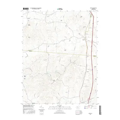
1979 Map of Upton
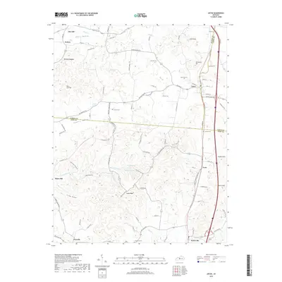
USGS Topo · Published 1984About this map
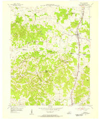
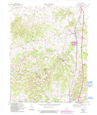
Upton and Bonnieville anchor this Kentucky landscape where the Louisville and Nashville railroad runs parallel to the modern Kentucky Turnpike. The map reveals a transition from the structured rail towns to the undulating terrain of the Copelin Valley and Priddy Hollow. In the western reaches, the waters of the Nolin Reservoir begin to back up toward Riders Mill, marking the impact of mid-century water management on local geography. Genealogists will find a dense network of family-named landmarks and rural institutions, from the Brashear Cem near Jim Moore Hill to small congregations at Stoney Point Ch and Falling Spring Ch. Distinctive natural features like Saltpeter Cave and Blue Hole Spring point to the karst topography common in this region of Hardin and Hart Counties.
Find a feature on this map
47 named features on this map. Tap any name to fly to it.
Don’t see what you’re looking for? This feature index may not catch every label — zoom into the map to look around manually.
Map Details
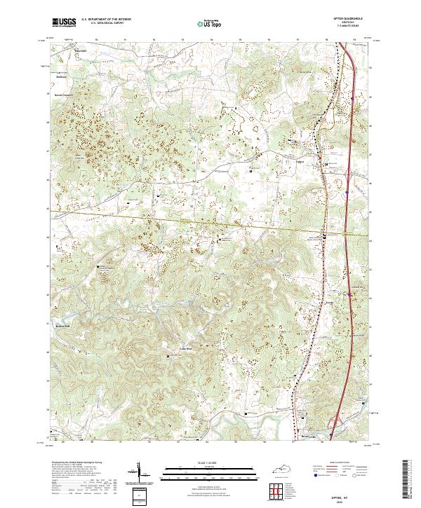
Editions of this 1979 Upton Map
This is the sole edition of this map. No revisions or reprints were ever made.
Historical Maps of Bonnieville Through Time
8 maps found