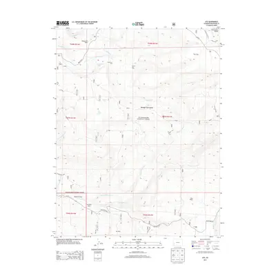
2013 Map of Ute
USGS Topo · Published 2013About this map
The Uncompahgre National Forest dominates this high-altitude landscape of the Uncompahgre Plateau, where the geography is defined by deep drainages and isolated outposts. Ranching history is central to this area, evidenced by a series of named locations such as Houser Cow Camp, Maupin Cow Camp, and Forsman Cow Camp. These sites, along with Burch Cow Camp, reflect the seasonal grazing patterns typical of this Colorado region. Water management is critical for these remote operations, shown by the Glencoe Ditch and natural water sources like Ouray Spring and Bramier Spring. To the south, the settlement of Ute sits near the junction of Old Highway 90, providing a rare point of human concentration amid the expansive terrain of Dry Park and Pine Ridge. The map documents a complex network of forest roads and trails, including the Parallel Trail, that navigate the headwaters of Tabeguache Cr and several forks of Cottonwood Cr.
Find a feature on this map
26 named features on this map. Tap any name to fly to it.
Don’t see what you’re looking for? This feature index may not catch every label — zoom into the map to look around manually.
Map Details
Editions of this 2013 Ute Map
This is the sole edition of this map. No revisions or reprints were ever made.
Other maps of this area
1956 · Moab
USGS Topo · 1:250,000
1959 · Moab
USGS Topo · 1:250,000
1960 · Moab
USGS Topo · 1:250,000
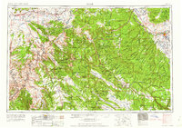
1962 · Moab
USGS Topo · 1:250,000
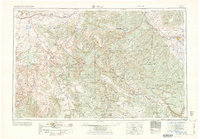
1964 · Moab
USGS Topo · 1:250,000
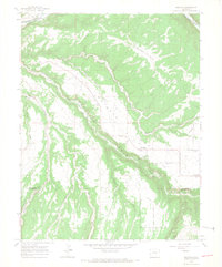
1964 · Redvale
USGS Topo · 1:24,000
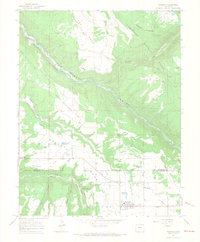
1964 · Norwood
USGS Topo · 1:24,000
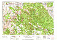
1965 · Moab
USGS Topo · 1:250,000
1967 · Sanborn Park
USGS Topo · 1:24,000
1973 · Ute
USGS Topo · 1:24,000