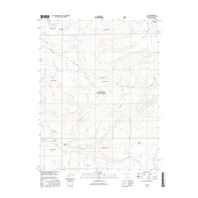
2016 Map of Ute
USGS Topo · Published 2016About this map
Uncompahgre National Forest dominates this section of the western Colorado high country, where the landscape is defined by the massive Uncompahgre Plateau and its complex drainage systems. The small settlement of Ute sits at the base of these heights, connected to the wider region via Hwy 90 and the historic Old Highway 90. The area is marked by numerous water sources critical for high-altitude ranching and travel, including Bramier Spring, Blue Mud Spring, and the high-elevation Monument Lake.
Find a feature on this map
73 named features on this map. Tap any name to fly to it.
Don’t see what you’re looking for? This feature index may not catch every label — zoom into the map to look around manually.
Map Details
Editions of this 2016 Ute Map
This is the sole edition of this map. No revisions or reprints were ever made.
Other maps of this area
1956 · Moab
USGS Topo · 1:250,000
1959 · Moab
USGS Topo · 1:250,000
1960 · Moab
USGS Topo · 1:250,000
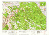
1962 · Moab
USGS Topo · 1:250,000
1964 · Moab
USGS Topo · 1:250,000
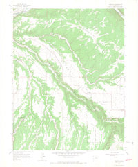
1964 · Redvale
USGS Topo · 1:24,000
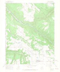
1964 · Norwood
USGS Topo · 1:24,000
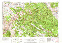
1965 · Moab
USGS Topo · 1:250,000
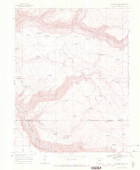
1967 · Sanborn Park
USGS Topo · 1:24,000
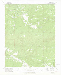
1973 · Ute
USGS Topo · 1:24,000