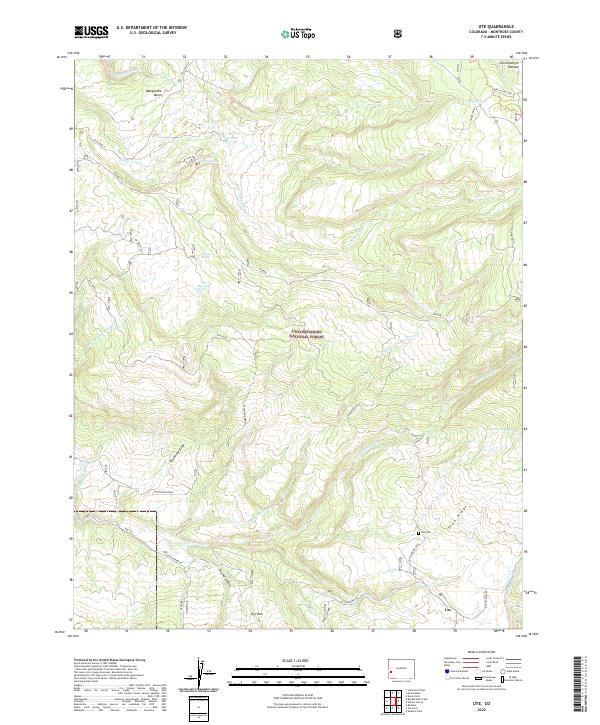
2022 Map of Ute
USGS Topo · Published 2022About this map
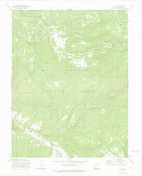
Uncompahgre National Forest spans the heart of this landscape, where the high-altitude terrain of the Uncompahgre Plateau transitions into deep drainage basins. The small settlement of Ute and the nearby Ute Cem reflect the human history of this corner of Montrose County, while the presence of Burch Cow Camp in the northeast suggests the area's continued use for livestock grazing.
Find a feature on this map
39 named features on this map. Tap any name to fly to it.
Don’t see what you’re looking for? This feature index may not catch every label — zoom into the map to look around manually.
Map Details
Editions of this 2022 Ute Map
This is the sole edition of this map. No revisions or reprints were ever made.
Other maps of this area

1956 · Moab
USGS Topo · 1:250,000

1959 · Moab
USGS Topo · 1:250,000

1960 · Moab
USGS Topo · 1:250,000

1962 · Moab
USGS Topo · 1:250,000

1964 · Moab
USGS Topo · 1:250,000
1964 · Redvale
USGS Topo · 1:24,000
1964 · Norwood
USGS Topo · 1:24,000

1965 · Moab
USGS Topo · 1:250,000
1967 · Sanborn Park
USGS Topo · 1:24,000
1973 · Ute
USGS Topo · 1:24,000