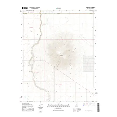
2017 Map of Ute Mountain
USGS Topo · Published 2017About this map
Ute Mountain dominates this landscape on the border of Colorado and New Mexico, rising sharply from the surrounding high plains. The Western edge of the quadrangle is defined by the steep descent into the Cañon del Rio Grande, where the Rio Grande cuts a deep path through the volcanic plateau. This 2017 survey illustrates the sparse, high-altitude environment of Taos County, where infrastructure is limited to perimeter routes like Co Rd A and the E Rim Trail which follows the canyon's edge. The convergence of Costilla Cr and the main river canyon creates a complex drainage pattern north of the peak, marking a significant geographic transition at the state line where Conejos and Taos counties meet.
Find a feature on this map
14 named features on this map. Tap any name to fly to it.
Don’t see what you’re looking for? This feature index may not catch every label — zoom into the map to look around manually.
Map Details
Editions of this 2017 Ute Mountain Map
This is the sole edition of this map. No revisions or reprints were ever made.
Other maps of this area
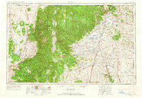
1954 · Raton
USGS Topo · 1:250,000

1954 · Trinidad
USGS Topo · 1:250,000

1955 · Trinidad
USGS Topo · 1:250,000
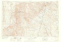
1958 · Raton
USGS Topo · 1:250,000

1958 · Trinidad
USGS Topo · 1:250,000
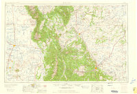
1959 · Trinidad
USGS Topo · 1:250,000
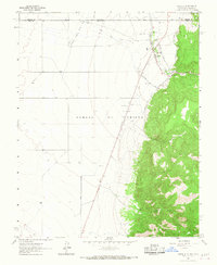
1963 · Costilla
USGS Topo · 1:24,000
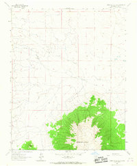
1963 · Cerro De La Olla
USGS Topo · 1:24,000
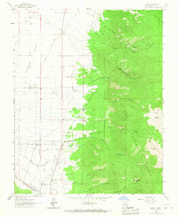
1963 · Cerro
USGS Topo · 1:24,000
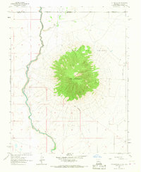
1963 · Ute Mountain
USGS Topo · 1:24,000