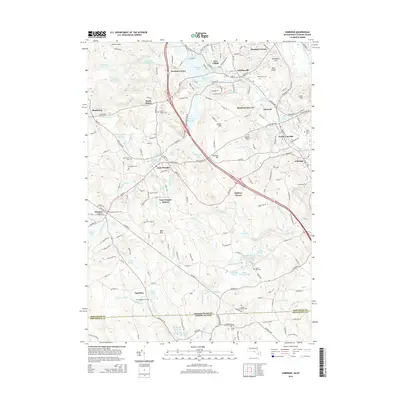
2015 Map of Uxbridge
USGS Topo · Published 2015About this map
Whitinsville and the industrial corridors of the Mumford River define the northern reach of this Worcester County landscape. The map traces a dense network of village centers and mill-era settlements, including Linwood, North Uxbridge, and East Douglas. These communities are linked by historical transport routes and the winding river systems that once powered the local economy. In the southern portion, the geography becomes more wooded as it approaches the Massachusetts Rhode Island border, punctuated by significant water bodies such as Lackey Pond and Whitins Pond. Genealogists will find a wealth of local-history data through numerous family-named landmarks and cemeteries, from Royal Taft Cem to Pine Grove Cem. The presence of Waters Airport and the East Douglas Station illustrates the evolving infrastructure that has connected these Blackstone Valley towns over the generations.
Find a feature on this map
176 named features on this map. Tap any name to fly to it.
Don’t see what you’re looking for? This feature index may not catch every label — zoom into the map to look around manually.
Map Details
Editions of this 2015 Uxbridge Map
This is the sole edition of this map. No revisions or reprints were ever made.
Other maps of this area

1886 · Blackstone
USGS Topo · 1:62,500

1889 · Blackstone
USGS Topo · 1:62,500

1889 · Webster
USGS Topo · 1:62,500

1889 · Putnam
USGS Topo · 1:62,500

1889 · Burrillville
USGS Topo · 1:62,500

1892 · Webster
USGS Topo · 1:62,500

1893 · Putnam
USGS Topo · 1:62,500

1893 · Blackstone
USGS Topo · 1:62,500

1894 · Burrillville
USGS Topo · 1:62,500

1900 · Blackstone
USGS Topo · 1:62,500