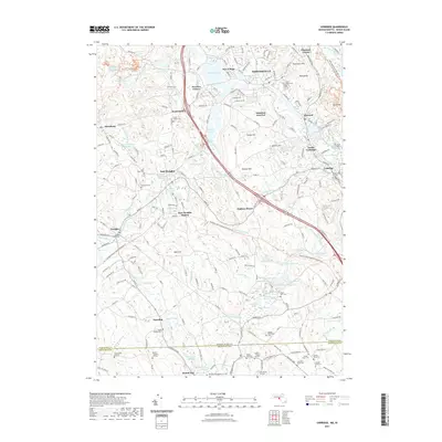
2021 Map of Uxbridge
USGS Topo · Published 2021About this map
Industrial heritage and a dense network of family burying grounds characterize this region of the Blackstone Valley. The Mumford River winds through manufacturing centers like Whitinsville and Linwood, where the proximity of water power drove the growth of mill villages such as New Village and North Uxbridge. The landscape is dotted with numerous small family and municipal plots, including the Pine Grove Cem and the South Douglas Cem, which offer significant genealogical value for researchers of the area's early industrial and agricultural families.
Find a feature on this map
103 named features on this map. Tap any name to fly to it.
Don’t see what you’re looking for? This feature index may not catch every label — zoom into the map to look around manually.
Map Details
Editions of this 2021 Uxbridge Map
This is the sole edition of this map. No revisions or reprints were ever made.
Other maps of this area

1886 · Blackstone
USGS Topo · 1:62,500

1889 · Blackstone
USGS Topo · 1:62,500

1889 · Webster
USGS Topo · 1:62,500

1889 · Putnam
USGS Topo · 1:62,500

1889 · Burrillville
USGS Topo · 1:62,500

1892 · Webster
USGS Topo · 1:62,500

1893 · Putnam
USGS Topo · 1:62,500

1893 · Blackstone
USGS Topo · 1:62,500

1894 · Burrillville
USGS Topo · 1:62,500

1900 · Blackstone
USGS Topo · 1:62,500