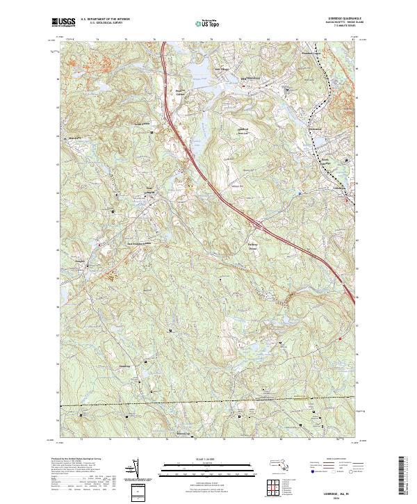
2024 Map of Uxbridge
USGS Topo · Published 2024About this map
The Blackstone River valley in Worcester County defines this landscape, where the Providence & Worcester RR follows the water through industrial and residential centers. The map focuses on the historic textile communities of Whitinsville and Linwood, where Whitins Pond and Arcade Pond sit as evidence of early water-powered industry. The transition from established village centers like Uxbridge and Douglas to the more rural, wooded areas is marked by a high density of family burial grounds and community landmarks. Researchers will find numerous namesake locations such as Plummers Hill and Prentice Corner, alongside unique terrain labels like the Bad Lands near the northern edge. The southern portion of the sheet crosses into Rhode Island, showing the connectivity of rural roads and small homesteads across the state line.
Find a feature on this map
199 named features on this map. Tap any name to fly to it.
Don’t see what you’re looking for? This feature index may not catch every label — zoom into the map to look around manually.
Map Details
Editions of this 2024 Uxbridge Map
This is the sole edition of this map. No revisions or reprints were ever made.
Other maps of this area

1886 · Blackstone
USGS Topo · 1:62,500

1889 · Blackstone
USGS Topo · 1:62,500

1889 · Webster
USGS Topo · 1:62,500

1889 · Putnam
USGS Topo · 1:62,500

1889 · Burrillville
USGS Topo · 1:62,500

1892 · Webster
USGS Topo · 1:62,500

1893 · Putnam
USGS Topo · 1:62,500

1893 · Blackstone
USGS Topo · 1:62,500

1894 · Burrillville
USGS Topo · 1:62,500

1900 · Blackstone
USGS Topo · 1:62,500