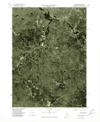
1975 Map of Uxbridge
USGS Topo · Published 1981About this map
The Blackstone Valley industrial corridor is captured in detail through this 1975 orthophotoquad, showing the dense mill-town developments of Uxbridge and Whitinsville during the mid-1970s. The winding course of the Blackstone River and the Mumford River reveals the hydraulic foundation of these textile-manufacturing centers. While the primary settlements like East Douglas and Linwood show clear urban density, the surrounding landscape near Tasseltop and Manchaug remains a mix of forest and agricultural tracts. This aerial perspective, produced by the U.S. Geological Survey and the Commonwealth of Massachusetts, offers a clear view of the transportation networks and residential expansion that defined this part of Worcester County before late-century suburbanization shifted the character of the region.
Find a feature on this map
10 named features on this map. Tap any name to fly to it.
Don’t see what you’re looking for? This feature index may not catch every label — zoom into the map to look around manually.
Map Details
Editions of this 1975 Uxbridge Map
This is the sole edition of this map. No revisions or reprints were ever made.
Other maps of this area

1886 · Blackstone
USGS Topo · 1:62,500

1889 · Blackstone
USGS Topo · 1:62,500

1889 · Webster
USGS Topo · 1:62,500

1889 · Putnam
USGS Topo · 1:62,500

1889 · Burrillville
USGS Topo · 1:62,500

1892 · Webster
USGS Topo · 1:62,500

1893 · Putnam
USGS Topo · 1:62,500

1893 · Blackstone
USGS Topo · 1:62,500

1894 · Burrillville
USGS Topo · 1:62,500

1900 · Blackstone
USGS Topo · 1:62,500