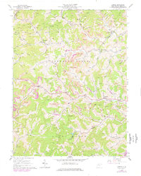
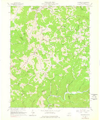
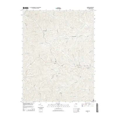
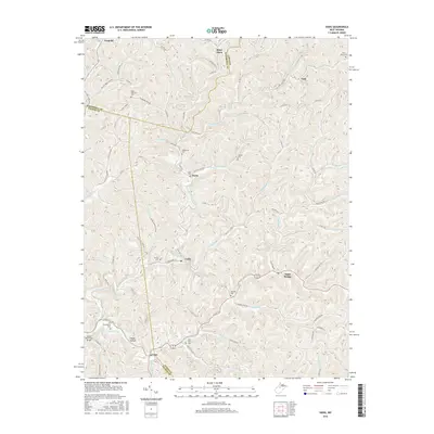
1927 Map of Vadis
USGS Topo · Published 1927About this map
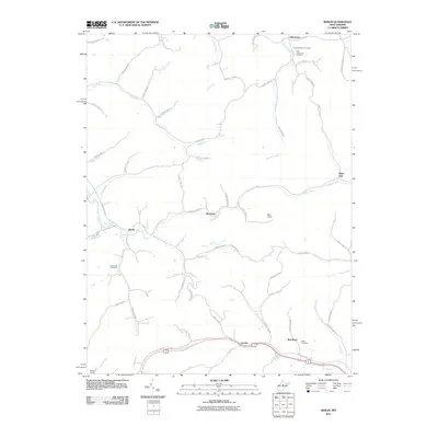
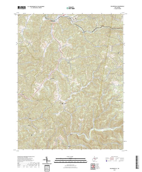
The ridge-and-valley landscape of central West Virginia is documented here through a dense network of upland farms and valley communities connected by winding runs. Settled heavily along the waterways, the area shows a distinct pattern of rural social organization, with the St Clara and Alum Bridge vicinities serving as hubs for numerous district schools and churches. The drainage basins of Leading Creek, Fink Creek, and Freemans Creek define the movement of people across Doddridge and Lewis counties, where every significant hollow appears to support a family-named landmark or a small schoolhouse.
Find a feature on this map
138 named features on this map. Tap any name to fly to it.
Don’t see what you’re looking for? This feature index may not catch every label — zoom into the map to look around manually.
Map Details
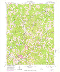
Editions of this 1927 Vadis Map
2 editions found
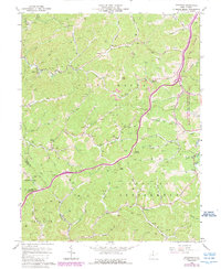
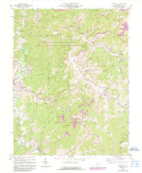
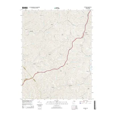
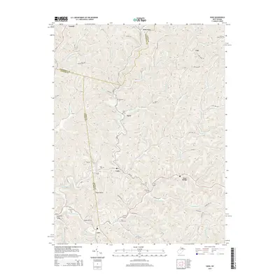
Historical Maps of Miletus Through Time
39 maps found
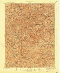
1904 Vadis
Lewis County, WV

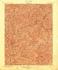
1925 Vadis
Lewis County, WV
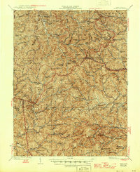
1927 Vadis
Lewis County, WV
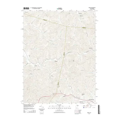
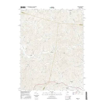
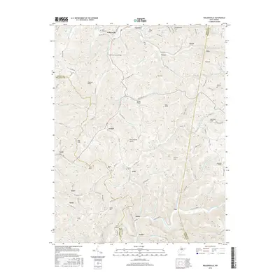
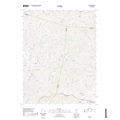
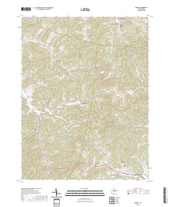
1961 Berlin
Lewis County, WV
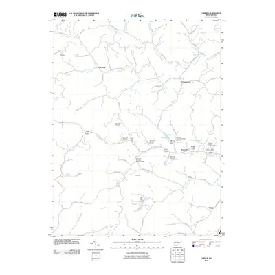
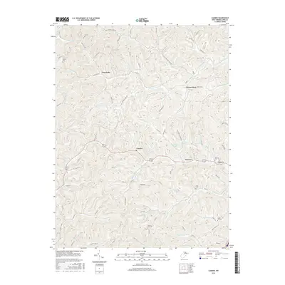
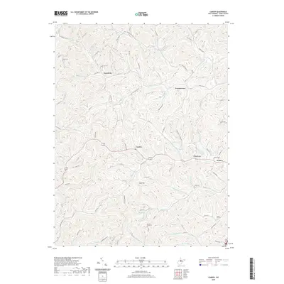
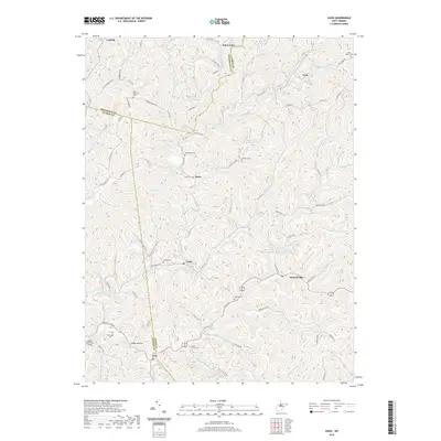
1964 Camden
Lewis County, WV
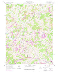
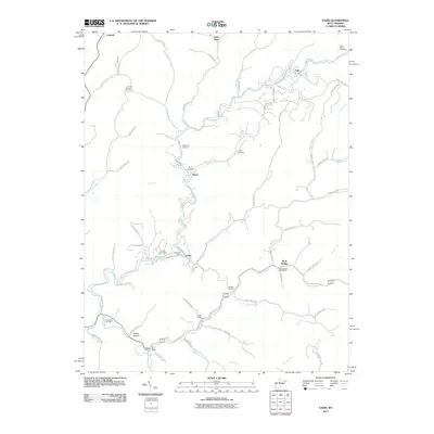
1964 Vadis
Lewis County, WV
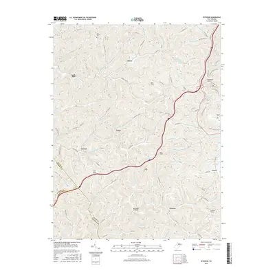
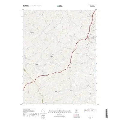
1966 Peterson
Lewis County, WV
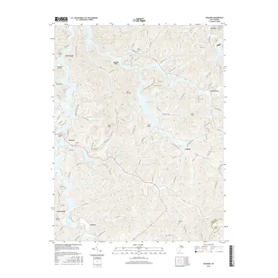
1966 Roanoke
Lewis County, WV
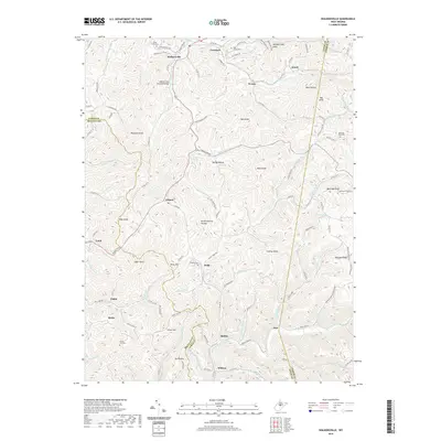
1966 Walkersville
Lewis County, WV
2010 Peterson
Lewis County, WV
2010 Roanoke
Lewis County, WV
2010 Walkersville
Lewis County, WV
2011 Berlin
Lewis County, WV
2011 Camden
Lewis County, WV
2011 Vadis
Lewis County, WV
2014 Berlin
Lewis County, WV
2014 Camden
Lewis County, WV
2014 Peterson
Lewis County, WV

2014 Roanoke
Lewis County, WV
2014 Vadis
Lewis County, WV
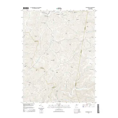
2014 Walkersville
Lewis County, WV
2016 Berlin
Lewis County, WV
2016 Camden
Lewis County, WV
2016 Peterson
Lewis County, WV
2016 Roanoke
Lewis County, WV
2016 Vadis
Lewis County, WV
2016 Walkersville
Lewis County, WV
2019 Berlin
Lewis County, WV
2019 Camden
Lewis County, WV
2019 Peterson
Lewis County, WV

2019 Roanoke
Lewis County, WV
2019 Vadis
Lewis County, WV
2019 Walkersville
Lewis County, WV
2023 Berlin
Lewis County, WV
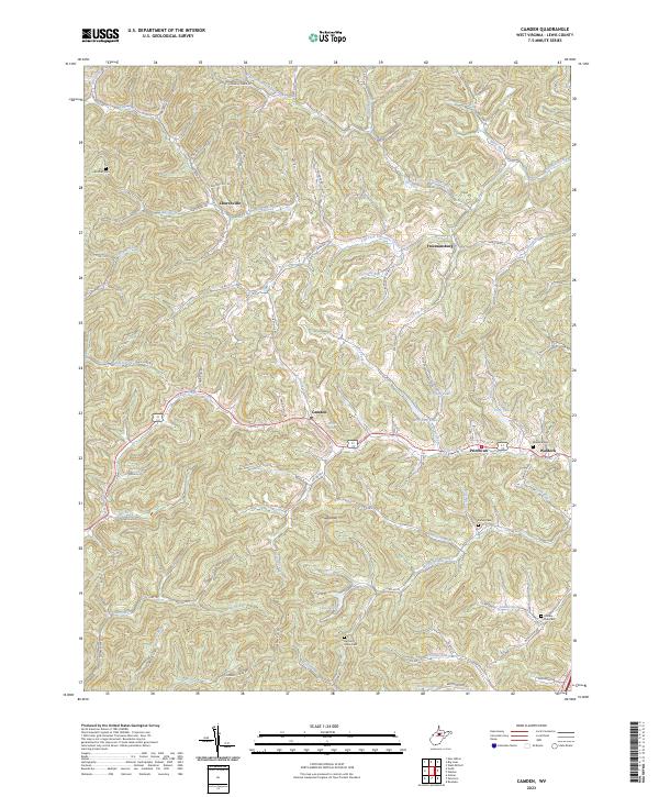
2023 Camden
Lewis County, WV
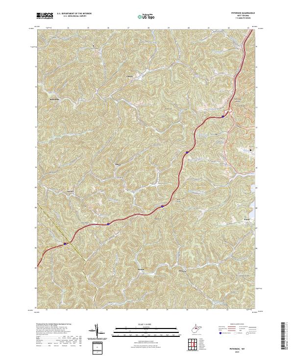
2023 Peterson
Lewis County, WV
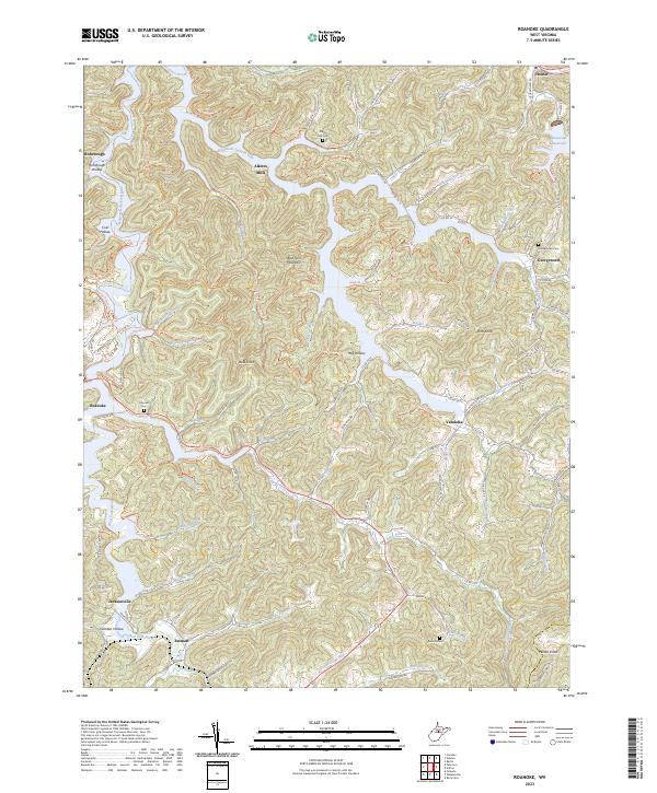
2023 Roanoke
Lewis County, WV
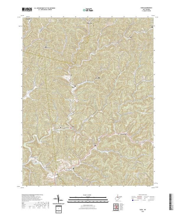
2023 Vadis
Lewis County, WV
2023 Walkersville
Lewis County, WV