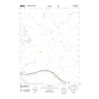
2011 Map of Vail East
USGS Topo · Published 2011About this map
Vail sits at the base of a high-altitude drainage system where Gore Creek flows through the valley, joined by steep tributaries like Bighorn Creek and Pitkin Creek. The map shows the transition from the structured residential roads of Bighorn to the high alpine basins of the Gore Range. The terrain is defined by dramatic elevation changes, rising from the valley floor to landmarks like Bald Mountain and the intricate rock formation known as The Spider. In the higher elevations, numerous alpine water bodies such as Booth Lake, Pitkin Lake, and Upper Piney Lake are scattered across the landscape. The infrastructure reveals the area's development as a premier recreation destination, with the Pauli Ski Area and local access roads like Vail Valley Dr and Bald Mountain Rd serving the growing community and providing access to the surrounding wilderness.
Find a feature on this map
33 named features on this map. Tap any name to fly to it.
Don’t see what you’re looking for? This feature index may not catch every label — zoom into the map to look around manually.
Map Details
Editions of this 2011 Vail East Map
This is the sole edition of this map. No revisions or reprints were ever made.
Other maps of this area

1929 · Dillon
USGS Topo · 1:62,500

1933 · Mt. Powell
USGS Topo · 1:48,000

1933 · Ute Peak
USGS Topo · 1:62,500

1934 · Minturn
USGS Topo · 1:62,500

1934 · Dillon
USGS Topo · 1:62,500

1937 · Ute Peak
USGS Topo · 1:62,500

1940 · Mount Powell
USGS Topo · 1:62,500

1950 · Minturn
USGS Topo · 1:62,500

1957 · Leadville
USGS Topo · 1:250,000

1959 · Leadville
USGS Topo · 1:250,000