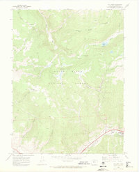
1970 Map of Vail West
USGS Topo · Published 1973About this map
Vail and West Vail occupy the narrow valley floor in the southeastern corner of this map, representing a significant period of development in the Eagle County mountains. The surrounding landscape within the White River National Forest is defined by a dense network of watercourses and primitive transportation routes. Piney Creek and the Piney River dominate the northern drainage, supported by high-altitude features like Piney Lake and the nearby Piney Campground.
Find a feature on this map
32 named features on this map. Tap any name to fly to it.
Don’t see what you’re looking for? This feature index may not catch every label — zoom into the map to look around manually.
Map Details
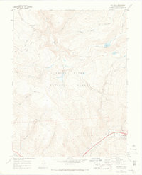
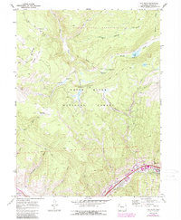
Editions of this 1970 Vail West Map
3 editions found
Other maps of this area

1933 · Mt. Powell
USGS Topo · 1:48,000

1934 · Minturn
USGS Topo · 1:62,500

1940 · Mount Powell
USGS Topo · 1:62,500

1950 · Minturn
USGS Topo · 1:62,500

1957 · Leadville
USGS Topo · 1:250,000

1959 · Leadville
USGS Topo · 1:250,000

1960 · Leadville
USGS Topo · 1:250,000

1962 · Leadville
USGS Topo · 1:250,000

1962 · Grouse Mountain
USGS Topo · 1:24,000

1962 · Edwards
USGS Topo · 1:24,000