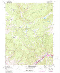
1970 Map of Vail West
USGS Topo · Published 1988About this map
Vail and West Vail occupy the lower corridor of this 1970 survey, capturing the early development of this mountain destination before its significant expansion. The landscape is dominated by the White River National Forest and the Eagles Nest Reservoir area, where a network of pack trails and jeep roads provides access to high-elevation terrain. Notable family-named landmarks like Nottingham Ridge and Nottingham Gulch reflect the region's ranching roots and early land use.
Find a feature on this map
33 named features on this map. Tap any name to fly to it.
Don’t see what you’re looking for? This feature index may not catch every label — zoom into the map to look around manually.
Map Details
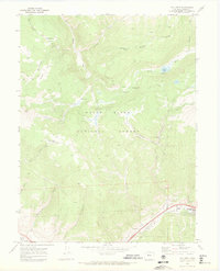
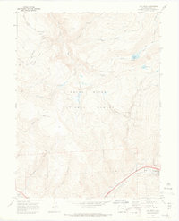
Editions of this 1970 Vail West Map
3 editions found
Other maps of this area

1933 · Mt. Powell
USGS Topo · 1:48,000

1934 · Minturn
USGS Topo · 1:62,500

1940 · Mount Powell
USGS Topo · 1:62,500

1950 · Minturn
USGS Topo · 1:62,500

1957 · Leadville
USGS Topo · 1:250,000

1959 · Leadville
USGS Topo · 1:250,000

1960 · Leadville
USGS Topo · 1:250,000

1962 · Leadville
USGS Topo · 1:250,000

1962 · Grouse Mountain
USGS Topo · 1:24,000

1962 · Edwards
USGS Topo · 1:24,000