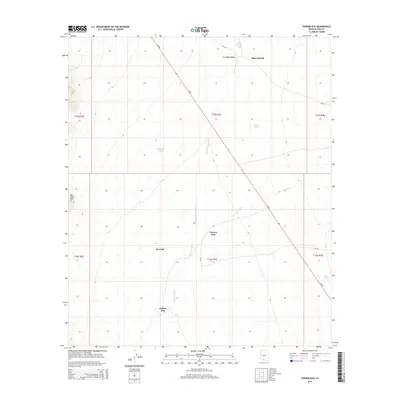
2014 Map of Vainom Kug
USGS Topo · Published 2014About this map
Vainom Kug and the surrounding Sonoran landscape are defined by a network of seasonal watercourses and essential catchment basins in the Gu Oidak Valley. The settlement pattern follows a series of historic hubs, including Kui Tatk, Kaihon Kug, and Sikul Himatk, linked by the diagonal corridor of Az 86 and local routes like Bia-232. The terrain is characterized by broad alluvial plains interrupted by the prominent rising of Ben Nevis Mtn in the west. Crucial to life in this arid environment are the numerous named livestock or water catchments such as Havana Tank, Francis Tank, and Nolia Tank, which appear alongside the significant drainage paths of Sikul Himatk Wash and San Luis Wash. These features reflect a traditional land-use system where water management and strategic positioning along desert washes dictate the placement of local communities.
Find a feature on this map
21 named features on this map. Tap any name to fly to it.
Don’t see what you’re looking for? This feature index may not catch every label — zoom into the map to look around manually.
Map Details
Editions of this 2014 Vainom Kug Map
This is the sole edition of this map. No revisions or reprints were ever made.
Other maps of this area

1934 · Silver Bell
USGS Topo · 1:125,000

1937 · Comobabi
USGS Topo · 1:48,000

1941 · Sells
USGS Topo · 1:62,500

1942 · Comobabi
USGS Topo · 1:62,500

1943 · Sells
USGS Topo · 1:62,500

1943 · Fresnal
USGS Topo · 1:125,000

1953 · Ajo
USGS Topo · 1:250,000

1954 · Sonoyta
USGS Topo · 1:250,000

1956 · Nogales
USGS Topo · 1:250,000

1956 · Tucson
USGS Topo · 1:250,000