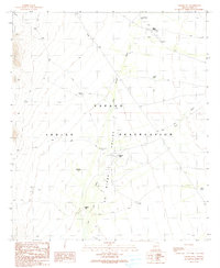
1990 Map of Vainom Kug
USGS Topo · Published 1990About this map
Gu Oidak Valley forms the central spine of this landscape within the Papago Indian Reservation. The map documents a sparsely settled region defined by its water management, where numerous tanks and washes dictate the layout of travel and habitation. Settlements like Vainom Kug and Kaihon Kug are situated along the primary drainage routes, while Kui Tatk (Site) marks a location of historical significance.
Find a feature on this map
24 named features on this map. Tap any name to fly to it.
Don’t see what you’re looking for? This feature index may not catch every label — zoom into the map to look around manually.
Map Details
Editions of this 1990 Vainom Kug Map
This is the sole edition of this map. No revisions or reprints were ever made.
Other maps of this area

1934 · Silver Bell
USGS Topo · 1:125,000

1937 · Comobabi
USGS Topo · 1:48,000

1941 · Sells
USGS Topo · 1:62,500

1942 · Comobabi
USGS Topo · 1:62,500

1943 · Sells
USGS Topo · 1:62,500

1943 · Fresnal
USGS Topo · 1:125,000

1953 · Ajo
USGS Topo · 1:250,000

1954 · Sonoyta
USGS Topo · 1:250,000

1956 · Nogales
USGS Topo · 1:250,000

1956 · Tucson
USGS Topo · 1:250,000