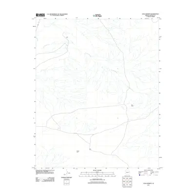
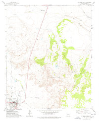
2011 Map of Valle Bonito
USGS Topo · Published 2011About this map
Zuñi River and the braided drainage of Pine Springs Wash define this high-desert landscape in northern Apache County. The map provides a detailed look at a region where human presence is sparse, marked primarily by utilitarian outposts and landmarks like West Camp and Bean Patch. The physical geography is dominated by Bonito Valle and the prominent ridge of Long Dike, which cuts across the terrain in the northern reaches of the quadrangle. Transportation is limited to remote corridors like Co RD-6268, reflecting a land-use pattern centered on large-scale ranching or resource management rather than dense settlement.
Find a feature on this map
7 named features on this map. Tap any name to fly to it.
Don’t see what you’re looking for? This feature index may not catch every label — zoom into the map to look around manually.
Map Details
Editions of this 2011 Valle Bonito Map
This is the sole edition of this map. No revisions or reprints were ever made.
Other maps of this area

1886 · St Johns
USGS Topo · 1:250,000

1892 · St Johns
USGS Topo · 1:250,000

1954 · Saint Johns
USGS Topo · 1:250,000

1957 · Saint Johns
USGS Topo · 1:250,000

1958 · Saint Johns
USGS Topo · 1:250,000

1962 · Saint Johns
USGS Topo · 1:250,000
1974 · St. Johns North
USGS Topo · 1:24,000
1977 · Ceadro Spring
USGS Topo · 1:24,000
1977 · Kearn Lake
USGS Topo · 1:24,000
1977 · St. Johns North
USGS Topo · 1:24,000