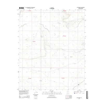
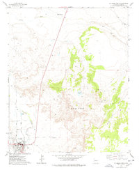
2014 Map of Valle Bonito
USGS Topo · Published 2014About this map
Bonito Valle and the agricultural pocket of Bean Patch define this high-desert landscape in Apache County. The terrain is deeply carved by seasonal drainage systems, including the Zuni River in the northwest corner and the meandering path of Pine Springs Wash, which cuts across the central townships. Transportation through this part of the Colorado Plateau relies on the corridor of Us-191 and secondary routes like CR-6268, which connect these sparse settlements. The map illustrates a typical pattern of Western land management, with the landscape divided into precise townships such as t15n r29e and t16n r30e. These survey lines contrast with the natural topography of mesas and draws, such as Aguaje Draw in the southeast, showing how human infrastructure and ranching outposts adapt to the arid geography of eastern Arizona.
Find a feature on this map
15 named features on this map. Tap any name to fly to it.
Don’t see what you’re looking for? This feature index may not catch every label — zoom into the map to look around manually.
Map Details
Editions of this 2014 Valle Bonito Map
This is the sole edition of this map. No revisions or reprints were ever made.
Other maps of this area

1886 · St Johns
USGS Topo · 1:250,000

1892 · St Johns
USGS Topo · 1:250,000

1954 · Saint Johns
USGS Topo · 1:250,000

1957 · Saint Johns
USGS Topo · 1:250,000

1958 · Saint Johns
USGS Topo · 1:250,000

1962 · Saint Johns
USGS Topo · 1:250,000
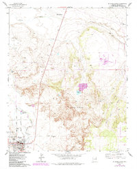
1974 · St. Johns North
USGS Topo · 1:24,000
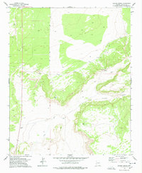
1977 · Ceadro Spring
USGS Topo · 1:24,000
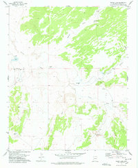
1977 · Kearn Lake
USGS Topo · 1:24,000
1977 · St. Johns North
USGS Topo · 1:24,000