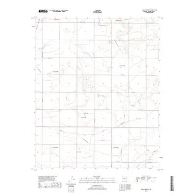
2018 Map of Valle Bonito
USGS Topo · Published 2018About this map
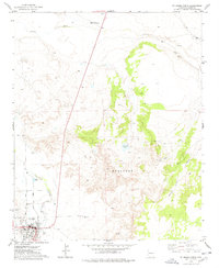
Bonito Valle sits within a landscape defined by seasonal watercourses and high desert terrain in northeastern Apache County. This area is characterized by a network of ranch roads and residential tracks, including Door Key Ranch Rd and Mendoza Ranch Rd, which navigate the elevation changes between prominent landmarks like Twin Peaks and Mag Hill. The Zuni River cuts through the northwest corner of the quadrangle, while Pine Springs Wash and Aguaje Draw drain the central and southern reaches toward Deer Valley. The layout of local routes such as Sierra Highlands Dr and Bonito Valley Rd suggests a modern rural settlement pattern, where named residential lanes like Elizabeth Knot and Kennedy Cir interface with established ranching lands like the Bean Patch.
Find a feature on this map
48 named features on this map. Tap any name to fly to it.
Don’t see what you’re looking for? This feature index may not catch every label — zoom into the map to look around manually.
Map Details
Editions of this 2018 Valle Bonito Map
This is the sole edition of this map. No revisions or reprints were ever made.
Other maps of this area

1886 · St Johns
USGS Topo · 1:250,000

1892 · St Johns
USGS Topo · 1:250,000

1954 · Saint Johns
USGS Topo · 1:250,000

1957 · Saint Johns
USGS Topo · 1:250,000

1958 · Saint Johns
USGS Topo · 1:250,000

1962 · Saint Johns
USGS Topo · 1:250,000
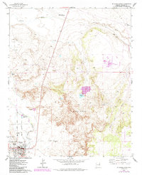
1974 · St. Johns North
USGS Topo · 1:24,000
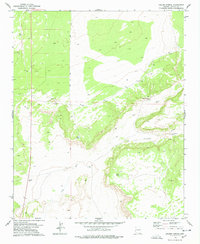
1977 · Ceadro Spring
USGS Topo · 1:24,000
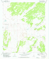
1977 · Kearn Lake
USGS Topo · 1:24,000
1977 · St. Johns North
USGS Topo · 1:24,000