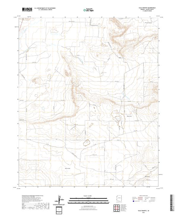
2021 Map of Valle Bonito
USGS Topo · Published 2021About this map
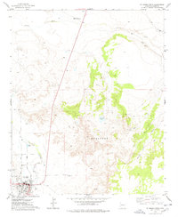
The Zuñi River and Pine Springs Wash define the hydrology of this high-altitude landscape in northeast Arizona, where ranching roots are evident in the named tracks and property labels. The settlement of Bonito Valle sits amidst a network of secondary roads and trails, including Mendoza Ranch Rd and Door Key Ranch Rd, which suggest a contemporary rural community defined by large-acreage parcels. Terrain features like Twin Peaks and Bean Patch provide local orientation, while lower-lying areas such as Deer Valley and the Aguaje Draw highlight the seasonal drainage patterns critical to life in Apache County. This 2021 survey demonstrates the modern transition from traditional ranching to more structured rural residential development, visible in the named circles and ways like Elizabeth Knot and Kennedy Cir that break the older grid of range and township lines.
Find a feature on this map
46 named features on this map. Tap any name to fly to it.
Don’t see what you’re looking for? This feature index may not catch every label — zoom into the map to look around manually.
Map Details
Editions of this 2021 Valle Bonito Map
This is the sole edition of this map. No revisions or reprints were ever made.
Other maps of this area

1886 · St Johns
USGS Topo · 1:250,000

1892 · St Johns
USGS Topo · 1:250,000

1954 · Saint Johns
USGS Topo · 1:250,000

1957 · Saint Johns
USGS Topo · 1:250,000

1958 · Saint Johns
USGS Topo · 1:250,000

1962 · Saint Johns
USGS Topo · 1:250,000
1974 · St. Johns North
USGS Topo · 1:24,000
1977 · Ceadro Spring
USGS Topo · 1:24,000
1977 · Kearn Lake
USGS Topo · 1:24,000
1977 · St. Johns North
USGS Topo · 1:24,000