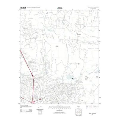
2012 Map of Valley Center
USGS Topo · Published 2012About this map
Valley Center and the surrounding highlands are defined by a complex network of residential developments and water infrastructure during the early twenty-first century. The landscape is marked by substantial engineering projects like the San Diego Aqueduct, the Red Mountain Tunnel, and the Oat Hills Tunnel, which facilitate water movement across the varied terrain. In the south, the expansion of the Palomar Community College campus and the proximity of the Escondido Recreational Vehicle Park indicate the area's role as an educational and recreational hub for the North County region.
Find a feature on this map
261 named features on this map. Tap any name to fly to it.
Don’t see what you’re looking for? This feature index may not catch every label — zoom into the map to look around manually.
Map Details
Editions of this 2012 Valley Center Map
This is the sole edition of this map. No revisions or reprints were ever made.
Other maps of this area

1893 · Escondido
USGS Topo · 1:62,500

1901 · Escondido
USGS Topo · 1:62,500

1901 · San Luis Rey
USGS Topo · 1:125,000

1903 · Ramona
USGS Topo · 1:125,000

1904 · Southern California Sheet No. 2
USGS Topo · 1:250,000

1939 · Palomar Mountain
USGS Topo · 1:62,500

1942 · Temecula
USGS Topo · 1:62,500

1942 · Escondido
USGS Topo · 1:62,500

1942 · Ramona
USGS Topo · 1:62,500

1947 · Ramona
USGS Topo · 1:62,500