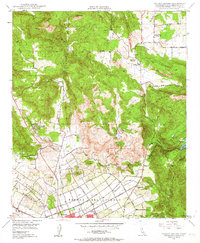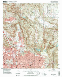
2022 Map of Valley Center
USGS Topo · Published 2022About this map
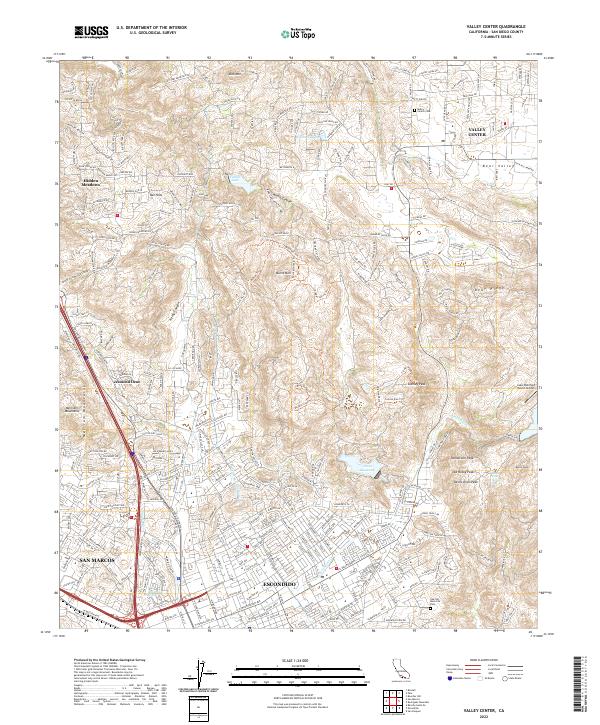
The hills and canyons of northern San Diego County define this landscape, where the modern urban grid of Escondido meets the transition into rural Valley Center. A network of recreational and utility infrastructure is prominent, from the Dixon Reservoir and Lake Wohlford Resort Airport to the critical path of the San Diego Aqueduct. The topography is punctuated by numerous named heights such as Stanley Peak and Tombstone Peak, while smaller residential pockets like Jesmond Dene and Hidden Meadows are tucked into the rising terrain. Regional connectivity is centered on Centre City Pkwy, linking the more developed south with the interior Bear Valley. Genealogists and local researchers will find the Valley Center Cem and Oak Hill Memorial Park clearly marked, alongside various springs and canyon trails that hint at the area's natural drainage patterns.
Find a feature on this map
55 named features on this map. Tap any name to fly to it.
Don’t see what you’re looking for? This feature index may not catch every label — zoom into the map to look around manually.
Map Details
Editions of this 2022 Valley Center Map
This is the sole edition of this map. No revisions or reprints were ever made.
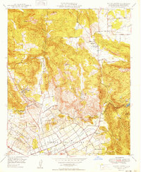
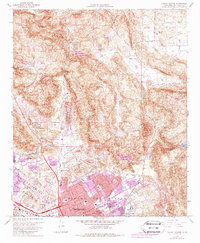
Historical Maps of Valley Center Through Time
5 maps found