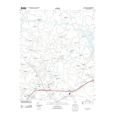
2011 Map of Valley Falls
USGS Topo · Published 2011About this map
The South Pacolet River Reservoir and the winding course of the Pacolet River dominate this Spartanburg County landscape, illustrating a region defined by its numerous waterways and early transportation crossings. Local history and genealogy are anchored by several established burial sites, including the Cherokee Springs Baptist Cemetery and the Ezell Cemetery. This era shows significant suburban development and established neighborhoods such as Boiling Springs, Valley Falls, and Cherokee Springs interspersed with rural infrastructure.
Find a feature on this map
240 named features on this map. Tap any name to fly to it.
Don’t see what you’re looking for? This feature index may not catch every label — zoom into the map to look around manually.
Map Details
Editions of this 2011 Valley Falls Map
This is the sole edition of this map. No revisions or reprints were ever made.
Other maps of this area

1907 · Saluda
USGS Topo · 1:125,000

1935 · Greer
USGS Topo · 1:48,000

1938 · Greer
USGS Topo · 1:62,500

1941 · Spartanburg
USGS Topo · 1:250,000

1947 · Spartanburg
USGS Topo · 1:62,500

1949 · Spartanburg
USGS Topo · 1:24,000

1949 · Spartanburg
USGS Topo · 1:62,500

1953 · Spartanburg
USGS Topo · 1:250,000

1953 · Charlotte
USGS Topo · 1:250,000

1954 · Charlotte
USGS Topo · 1:250,000