2024 Map of Valley Falls
USGS Topo · Published 2024About this map
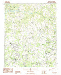
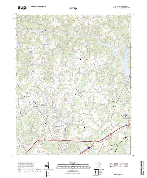
Boiling Springs and Cherokee Springs anchor this residential and agricultural landscape north of Spartanburg, where modern development meets a dense network of legacy churchyards. The terrain is defined by the convergence of the North Pacolet River and South Pacolet River, with the South Pacolet River Reservoir Number One serving as a major hydrologic feature in the northwest. Local history is etched into the landscape through numerous family and congregational burial grounds, including the Tuck-Willis-Cook Cem and the Holden Chapel Missionary Baptist Church Graveyard. Educational institutions like the Sherman College of Chiropractic and V F College signal the area's growth beyond its rural roots. Smaller waterways such as Big Shoally Creek and Casey Creek carve through the northern hills, while Flatwood Lake and Fairview Lake suggest a landscape dotted with localized water management and recreation.
Find a feature on this map
77 named features on this map. Tap any name to fly to it.
Don’t see what you’re looking for? This feature index may not catch every label — zoom into the map to look around manually.
Map Details
Editions of this 2024 Valley Falls Map
This is the sole edition of this map. No revisions or reprints were ever made.