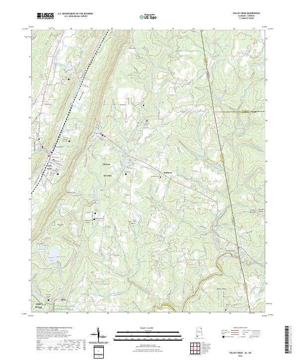
2024 Map of Valley Head
USGS Topo · Published 2024About this map
Winston Plantation Slave Cem and Winston Cem stand as significant markers of the complex local history near Valley Head, where the Alabama Great Southern RR parallels the ridge-and-valley terrain. This corner of DeKalb County is defined by the sharp descent of the Little River Canyon National Preserve, where the West Fork Little River carves through the sandstone plateau. The settlement of Mentone sits perched above the valley, surrounded by a landscape dotted with family-named landmarks and water features like Moon Lake and Lake Lahusage.
Find a feature on this map
158 named features on this map. Tap any name to fly to it.
Don’t see what you’re looking for? This feature index may not catch every label — zoom into the map to look around manually.
Map Details
Editions of this 2024 Valley Head Map
This is the sole edition of this map. No revisions or reprints were ever made.
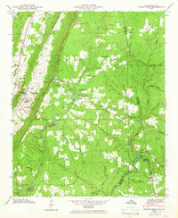
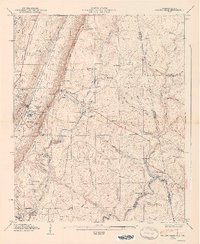
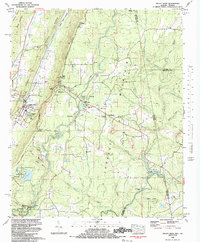
Historical Maps of Alpine Through Time
4 maps found